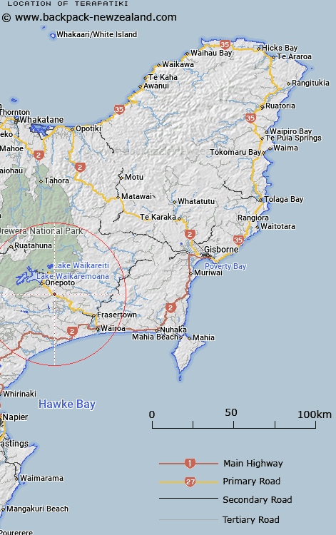
Map showing location of Terapatiki
LINZ description: Locality near bridge on Highway 38, 3km South-east of Piripaua. Waiau Survey District.
Latitude: -38.857841
Longitude: 177.191277
Northing: 5690644
Easting: 1963724.8
Land District: Gisborne
Feat Type: Locality
Latitude: -38.857841
Longitude: 177.191277
Northing: 5690644
Easting: 1963724.8
Land District: Gisborne
Feat Type: Locality

Scroll down to see a more detailed road map and below that a topographical map showing the location of Terapatiki. The road map has been supplied by openstreetmap and the topographical map of Terapatiki has been supplied by Land Information New Zealand (LINZ).
Yes you can use the top static map for you school/university project or personal website with a link back. Contact me for any commercial use.
[ A ] [ B ] [ C ] [ D ] [ E ] [ F ] [ G ] [ H ] [ I ] [ J ] [ K ] [ L ] [ M ] [ N ] [ O ] [ P ] [ Q ] [ R ] [ S ] [ T ] [ U ] [ V ] [ W ] [ X ] [ Y ] [ Z ]