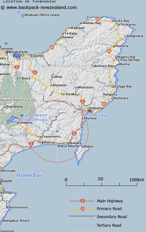
Map showing location of Tukemokihi


LINZ description: Locality on Mangapoike Road 1km East of the junction of Mangapoike River and Tukemokihi Stream. Opoiti Survey District.
Latitude: -38.901824
Longitude: 177.604888
Northing: 5684027
Easting: 1999387.3
Land District: Gisborne
Feat Type: Locality


Scroll down to see a more detailed road map and below that a topographical map showing the location of Tukemokihi. The road map has been supplied by openstreetmap and the topographical map of Tukemokihi has been supplied by Land Information New Zealand (LINZ).

Yes you can use the top static map for you school/university project or personal website with a link back. Contact me for any commercial use.

Tukemokihi Map New Zealand


New Zealand places in our database
[ A ] [ B ] [ C ] [ D ] [ E ] [ F ] [ G ] [ H ] [ I ] [ J ] [ K ] [ L ] [ M ] [ N ] [ O ] [ P ] [ Q ] [ R ] [ S ] [ T ] [ U ] [ V ] [ W ] [ X ] [ Y ] [ Z ]


Closest 20 Localitys to Tukemokihi

Rangikaikitia ( 8.74km )   Rangikahikitia ( 8.74km )   Te Reinga ( 11.06km )   Powhirikahawai ( 12.86km )   Konohuri Kahawai ( 12.86km )   Marumaru ( 13.06km )   Tiniroto ( 14.71km )   Whakaki ( 15.14km )   Tuhara ( 16.23km )   Tahaenui ( 16.63km )   Te Tahanga-o-te-konawhiti ( 18.12km )   Pahangaotekorowhiti ( 18.12km )   Morere ( 18.29km )   Frasertown ( 18.94km )   Nuhaka ( 19.8km )   Waingake ( 21.18km )   Ruakituri ( 22.42km )   Mamaku ( 23.64km )   Mamaka ( 23.64km )   Wharerata ( 23.73km )   Hangaroa ( 24.39km )   Otirangi ( 26.46km )   Otitangi ( 26.46km )   Ohinepaka ( 26.58km )   Waikokopu ( 27.04km )   Erepeti ( 27.2km )   Mahanga Beach ( 27.33km )   Anaotamaraukura ( 27.58km )   Te Ana Taumaraukura ( 27.58km )   Waerengaokuri ( 27.82km )   Papakiateaia ( 28.01km )   Papakiateaio ( 28.01km )   Pehiri ( 28.36km )   Ohuka ( 28.49km )   Pukearia ( 28.59km )   Pukiaria ( 28.59km )   Pouakahutia ( 28.96km )   Poakahitia ( 28.96km )   Kaikauakaua ( 29.04km )   Taikawakawa ( 29.04km )