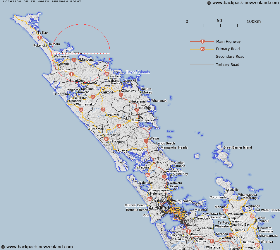
Map showing location of Te Whatu / Berghan Point


LINZ description: The point at the southern extent of Doubtless Bay, approximately 35 km northeast of Kaitaia. NZTopo50-AU27 510365.
Latitude: -34.912663
Longitude: 173.558298
Northing: 6136500
Easting: 1651000
Land District: North Auckland
Feat Type: Point


Scroll down to see a more detailed road map and below that a topographical map showing the location of Te Whatu / Berghan Point. The road map has been supplied by openstreetmap and the topographical map of Te Whatu / Berghan Point has been supplied by Land Information New Zealand (LINZ).

Yes you can use the top static map for you school/university project or personal website with a link back. Contact me for any commercial use.

Te Whatu / Berghan Point Map New Zealand


New Zealand places in our database
[ A ] [ B ] [ C ] [ D ] [ E ] [ F ] [ G ] [ H ] [ I ] [ J ] [ K ] [ L ] [ M ] [ N ] [ O ] [ P ] [ Q ] [ R ] [ S ] [ T ] [ U ] [ V ] [ W ] [ X ] [ Y ] [ Z ]


Closest 20 Points to Te Whatu / Berghan Point

Arawhata Point ( 0.82km )   Motukukupa Point ( 1.64km )   Puketakahia Point ( 1.76km )   Okare Point ( 2.5km )   Tuanui Point ( 3.04km )   Otonga Point ( 4.43km )   Opakau Point ( 4.96km )   Tutonu Point ( 6.33km )   Osprey Head ( 7.65km )   Rangitoto Point ( 7.84km )   Cole Point ( 8.1km )   Oyster Point ( 8.11km )   Rangikapiti Head ( 8.13km )   Goldfinch Point ( 8.28km )   Butler Point ( 8.45km )   Kauri Point ( 8.61km )   White Point ( 8.78km )   Knuckle Point ( 10.71km )   Otokia Point ( 10.88km )   Otamatiti Point ( 13.37km )   Tapakakeno Point ( 13.37km )   Pihakoa Point ( 13.92km )   Karaui Point ( 14.09km )   Te Umukukupa Point ( 14.09km )   Patia Point ( 14.29km )   Matanohinohi Point ( 14.47km )   Pa Point ( 14.92km )   Te Arai Point ( 15.42km )   Takini Point ( 15.58km )   Maitai Point ( 16.26km )   Jolliffe Point ( 16.26km )   Omahuri ( 16.54km )   Matawherohia Point ( 16.75km )   Kohotutea Point ( 17.65km )   Ohautetea Point ( 17.65km )   Black Point ( 18.5km )   Te Rae o te Rakau ( 18.5km )   False Head ( 18.62km )   Maraewhiti Point ( 19.25km )   Pumanawa Point ( 19.63km )