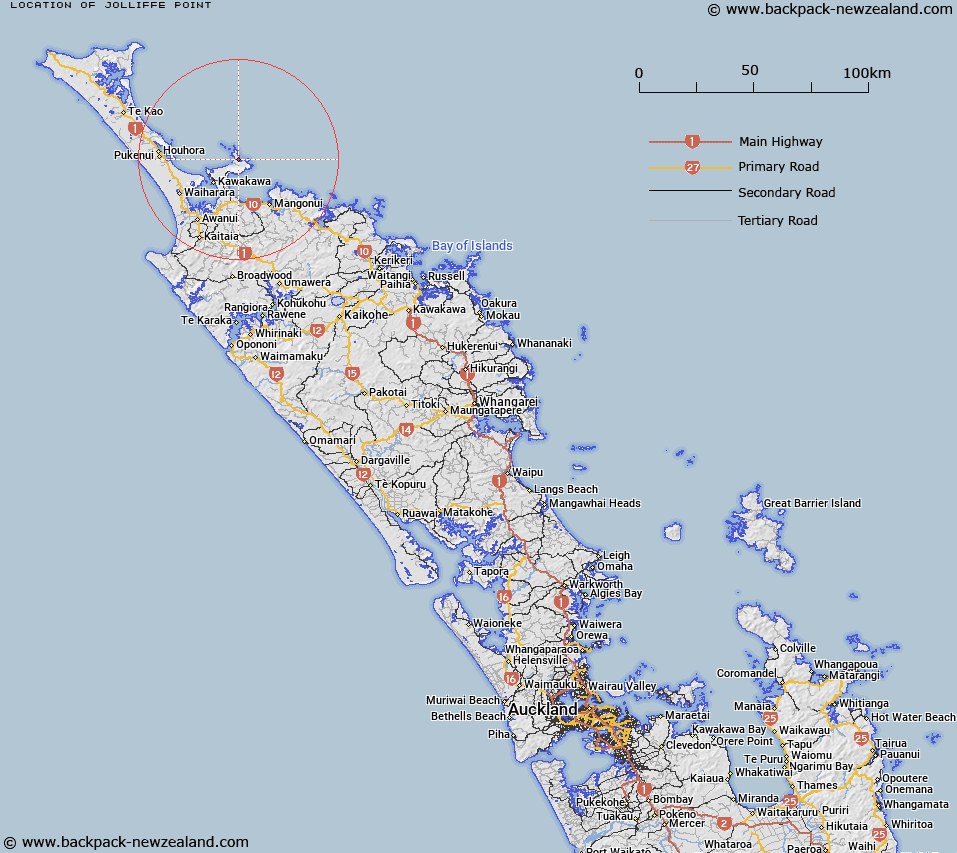
Map showing location of Jolliffe Point


LINZ description: Between Waikato Bay and Ohungahunga Bay
Latitude: -34.827576
Longitude: 173.413373
Northing: 6146000
Easting: 1637800
Land District: North Auckland
Feat Type: Point


Scroll down to see a more detailed road map and below that a topographical map showing the location of Jolliffe Point. The road map has been supplied by openstreetmap and the topographical map of Jolliffe Point has been supplied by Land Information New Zealand (LINZ).

Yes you can use the top static map for you school/university project or personal website with a link back. Contact me for any commercial use.

Jolliffe Point Map New Zealand


New Zealand places in our database
[ A ] [ B ] [ C ] [ D ] [ E ] [ F ] [ G ] [ H ] [ I ] [ J ] [ K ] [ L ] [ M ] [ N ] [ O ] [ P ] [ Q ] [ R ] [ S ] [ T ] [ U ] [ V ] [ W ] [ X ] [ Y ] [ Z ]


Closest 20 Points to Jolliffe Point

Omahuri ( 0.6km )   Te Arai Point ( 0.87km )   Takini Point ( 0.96km )   Matawherohia Point ( 1.28km )   Kohotutea Point ( 1.9km )   Ohautetea Point ( 1.9km )   Maraewhiti Point ( 2.99km )   Tapakakeno Point ( 3.3km )   Pihakoa Point ( 3.36km )   Black Point ( 3.39km )   Te Rae o te Rakau ( 3.39km )   Otamatiti Point ( 3.63km )   Waipapa Point ( 3.82km )   Pumanawa Point ( 3.82km )   Taumatara Point ( 3.89km )   Cape Karikari (Whakapouaka) ( 5.32km )   Knuckle Point ( 5.67km )   Patia Point ( 5.86km )   Blackney Point ( 12.32km )   Koura Point ( 12.43km )   Kotiatia Point ( 12.71km )   Wairakia Point ( 13.69km )   Otiaia Point ( 14.61km )   Kuaka Point ( 15.48km )   Berghan Point ( 16.26km )   Te Whatu / Berghan Point ( 16.26km )   Te Whatu Point ( 16.26km )   Arawhata Point ( 16.51km )   Puketakahia Point ( 16.76km )   Motukukupa Point ( 17.88km )   Okare Point ( 18.65km )   Tuanui Point ( 19.13km )   Osprey Head ( 19.62km )   Rangitoto Point ( 19.79km )   Rangikapiti Head ( 19.8km )   Cole Point ( 19.95km )   Oyster Point ( 20.36km )   Kauri Point ( 20.48km )   Goldfinch Point ( 20.59km )   Otonga Point ( 20.67km )