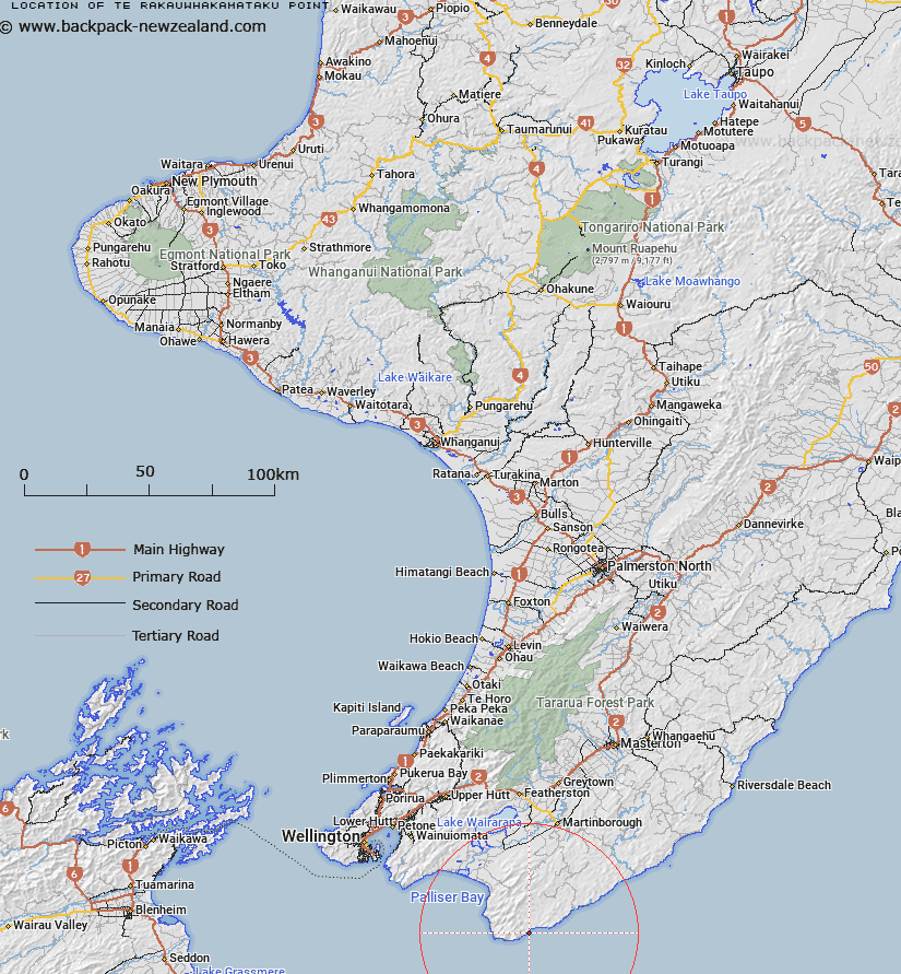
Map showing location of Te Rakauwhakamataku Point


LINZ description: Located approximately 6km east from Cape Palliser.
Latitude: -41.585988
Longitude: 175.359783
Northing: 5393500
Easting: 1796700
Land District: Wellington
Feat Type: Point


Scroll down to see a more detailed road map and below that a topographical map showing the location of Te Rakauwhakamataku Point. The road map has been supplied by openstreetmap and the topographical map of Te Rakauwhakamataku Point has been supplied by Land Information New Zealand (LINZ).

Yes you can use the top static map for you school/university project or personal website with a link back. Contact me for any commercial use.

Te Rakauwhakamataku Point Map New Zealand


New Zealand places in our database
[ A ] [ B ] [ C ] [ D ] [ E ] [ F ] [ G ] [ H ] [ I ] [ J ] [ K ] [ L ] [ M ] [ N ] [ O ] [ P ] [ Q ] [ R ] [ S ] [ T ] [ U ] [ V ] [ W ] [ X ] [ Y ] [ Z ]


Closest 20 Points to Te Rakauwhakamataku Point

Te Kaukau Point ( 6.12km )   Rocky Point ( 6.58km )   Te Humenga Point ( 15.22km )   Manurewa Point ( 16.86km )   Windy Point ( 37.37km )   Turakirae Head ( 40.57km )   Baring Head ( 45.64km )   Baring Head/?rua-pouanui ( 45.64km )   Bluff Point ( 49.07km )   Pencarrow Head ( 49.44km )   Horewai Point ( 49.52km )   Horiwi Point ( 49.52km )   Inconstant Point ( 49.78km )   Hinds Point ( 50km )   Point Arthur ( 50.25km )   Point Dorset ( 51.95km )   Ranger Point ( 52.27km )   Palmer Head ( 52.3km )   Point Howard ( 53.07km )   Moa Point ( 53.14km )   Point Gordon ( 54.22km )   Arthurs Nose ( 54.54km )   Elsdon Point ( 55.23km )   Greta Point ( 55.84km )   Point Halswell ( 55.84km )   Snapper Point ( 56.38km )   Point Jerningham ( 57.08km )   Cannon Point ( 58.77km )   Sinclair Head ( 59.06km )   Sinclair Head/Te Rimurapa ( 59.06km )   Kaiwharawhara Point ( 59.43km )   Flat Point ( 63.05km )   Tongue Point ( 64.36km )   Ration Point ( 66.04km )   Mungarui Point ( 66.6km )   Moorehouse Point ( 67.1km )   Shearers Point ( 67.31km )   Oteranga Head ( 67.75km )   Deepwater Point ( 68.1km )   Tawhitikur? / Goat Point ( 68.9km )