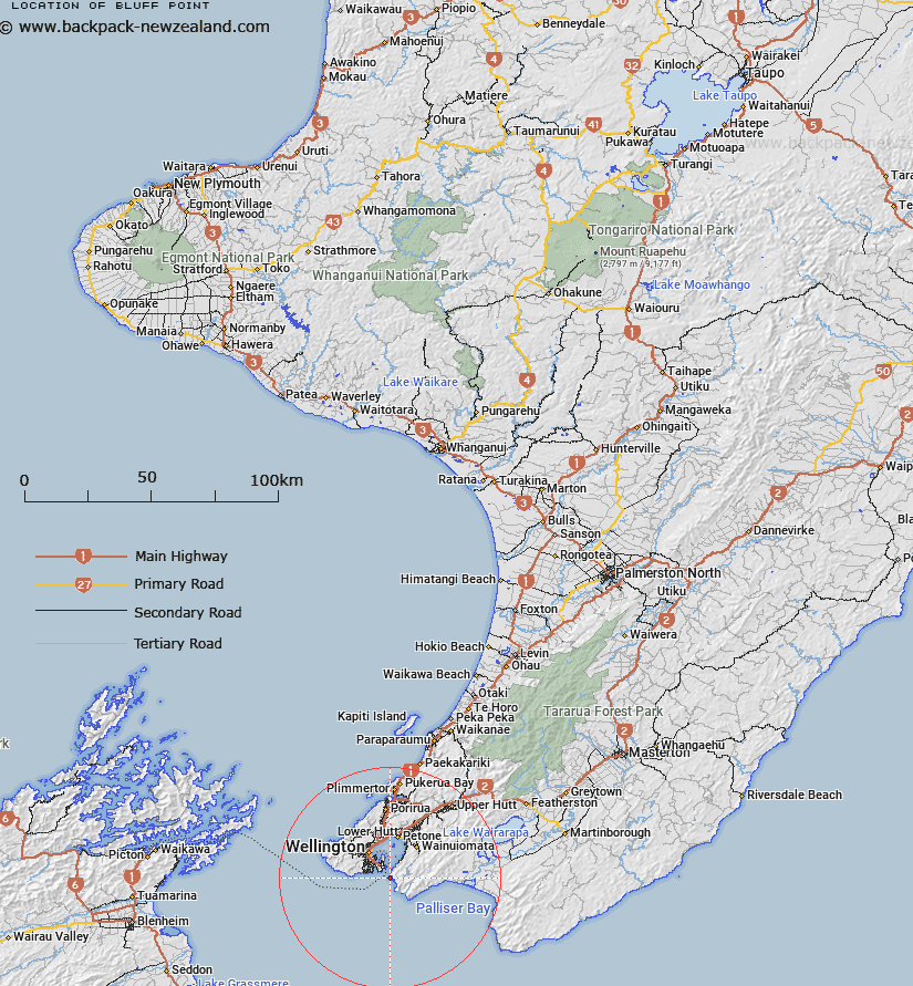
Map showing location of Bluff Point


LINZ description: Mile south-east of Pencarrow Head
Latitude: -41.363835
Longitude: 174.850806
Northing: 5419200
Easting: 1754800
Land District: Wellington
Feat Type: Point


Scroll down to see a more detailed road map and below that a topographical map showing the location of Bluff Point. The road map has been supplied by openstreetmap and the topographical map of Bluff Point has been supplied by Land Information New Zealand (LINZ).

Yes you can use the top static map for you school/university project or personal website with a link back. Contact me for any commercial use.

Bluff Point Map New Zealand


New Zealand places in our database
[ A ] [ B ] [ C ] [ D ] [ E ] [ F ] [ G ] [ H ] [ I ] [ J ] [ K ] [ L ] [ M ] [ N ] [ O ] [ P ] [ Q ] [ R ] [ S ] [ T ] [ U ] [ V ] [ W ] [ X ] [ Y ] [ Z ]


Closest 20 Points to Bluff Point

Pencarrow Head ( 0.5km )   Inconstant Point ( 1.6km )   Hinds Point ( 2.97km )   Palmer Head ( 3.28km )   Ranger Point ( 3.4km )   Point Dorset ( 3.85km )   Moa Point ( 4.07km )   Baring Head ( 4.95km )   Baring Head/?rua-pouanui ( 4.95km )   Arthurs Nose ( 5.47km )   Elsdon Point ( 6.27km )   Point Arthur ( 6.93km )   Point Gordon ( 7.64km )   Greta Point ( 7.68km )   Snapper Point ( 8.47km )   Point Halswell ( 9.13km )   Turakirae Head ( 9.49km )   Point Jerningham ( 9.52km )   Sinclair Head/Te Rimurapa ( 11.18km )   Sinclair Head ( 11.18km )   Windy Point ( 11.97km )   Kaiwharawhara Point ( 12.31km )   Point Howard ( 13.05km )   Tongue Point ( 16.14km )   Oteranga Head ( 19.08km )   Cape Terawhiti ( 21.6km )   Ohau Point ( 22.13km )   Pipinui Point ( 23.19km )   Mungarui Point ( 26.01km )   Rock Point ( 26.57km )   Green Point ( 28.39km )   Round Point ( 28.62km )   Shearers Point ( 29.23km )   Deepwater Point ( 29.46km )   Moorehouse Point ( 29.48km )   Ration Point ( 29.93km )   Goat Point ( 30.53km )   Tawhitikur? / Goat Point ( 30.53km )   Shingle Point ( 30.76km )   Taup? Point ( 31.2km )