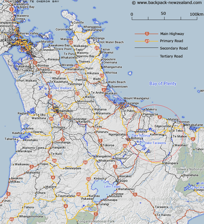
Map showing location of Te Oneroa Bay


LINZ description: Located on the southern shore of Lake Rotomā between Anaputa Point and Te Matahī Lagoon
Latitude: -38.066649
Longitude: 176.590493
Northing: 5780700
Easting: 1915000
Land District: South Auckland
Feat Type: Bay


Scroll down to see a more detailed road map and below that a topographical map showing the location of Te Oneroa Bay. The road map has been supplied by openstreetmap and the topographical map of Te Oneroa Bay has been supplied by Land Information New Zealand (LINZ).

Yes you can use the top static map for you school/university project or personal website with a link back. Contact me for any commercial use.

Te Oneroa Bay Map New Zealand


New Zealand places in our database
[ A ] [ B ] [ C ] [ D ] [ E ] [ F ] [ G ] [ H ] [ I ] [ J ] [ K ] [ L ] [ M ] [ N ] [ O ] [ P ] [ Q ] [ R ] [ S ] [ T ] [ U ] [ V ] [ W ] [ X ] [ Y ] [ Z ]


Closest 20 Bays to Te Oneroa Bay

Te Oneroa Bay ( 0km )   Pangopangoa Bay ( 2.55km )   Whangaroa Bay ( 2.97km )   Whangaroa Inlet ( 2.97km )   Te Rotoiti Bay ( 4.16km )   ?t?marokura Bay ( 4.51km )   Te Wairoa Bay ( 5.49km )   Ng?mimiro Bay ( 6.32km )   Kennedy Bay ( 6.32km )   Otautu Bay ( 7.58km )   ?taut? Bay ( 7.58km )   Te P?hue Bay ( 7.6km )   Te Pohue Bay ( 7.6km )   Waione Bay ( 8.09km )   Matawhaura Bay ( 8.13km )   Wharenareke Bay ( 8.48km )   Wain?kau Bay ( 9.25km )   Wainikau Bay ( 9.25km )   ?marupoto Bay ( 9.27km )   Omarupoto Bay ( 9.27km )   Omahota Bay ( 9.36km )   Haupapa Bay ( 9.5km )   Tapuaeharuru Bay ( 9.72km )   T?whakarere Bay ( 9.85km )   Korokitewao Bay ( 10.05km )   Te K?piha Bay ( 12.15km )   Punawhakareia Bay ( 13.11km )   Ngongoahi Bay ( 13.68km )   Te Ruato Bay ( 13.96km )   Puketapu Bay ( 14.1km )   ?tairoa Beach ( 14.73km )   Ng?hau? Bay ( 14.9km )   Tauranganui Bay ( 15km )   Hauparu Bay ( 15.49km )   Kaiwaka Bay ( 15.49km )   Te Tapahoro Bay ( 15.75km )   Ng?puka Bay ( 15.78km )   Tapuaekura Bay ( 15.99km )   Tahunap? Bay ( 16.12km )   Tahunapo Bay ( 16.12km )