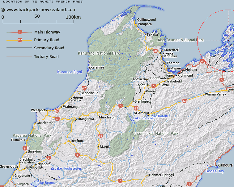
Map showing location of Te Aumiti / French Pass


LINZ description: A strait between Rangitoto ki te Tonga / D’Urville Island and Te Waipounamu, northeast of Current Basin approximately 1 km northeast of French Pass (Anaru) (locality). Feature shown on Infomap 346-02 Te Wai Pounamu Edition 1 1995; NZTopo50-BP28 703695
Latitude: -40.922166
Longitude: 173.834245
Northing: 5469548.2
Easting: 1670244.1
Land District: Nelson
Feat Type: Channel


Scroll down to see a more detailed road map and below that a topographical map showing the location of Te Aumiti / French Pass. The road map has been supplied by openstreetmap and the topographical map of Te Aumiti / French Pass has been supplied by Land Information New Zealand (LINZ).

Yes you can use the top static map for you school/university project or personal website with a link back. Contact me for any commercial use.

Te Aumiti / French Pass Map New Zealand


New Zealand places in our database
[ A ] [ B ] [ C ] [ D ] [ E ] [ F ] [ G ] [ H ] [ I ] [ J ] [ K ] [ L ] [ M ] [ N ] [ O ] [ P ] [ Q ] [ R ] [ S ] [ T ] [ U ] [ V ] [ W ] [ X ] [ Y ] [ Z ]


Closest 20 Channels to Te Aumiti / French Pass

Fishermans Passage ( 0.24km )   Current Basin ( 2.55km )   Apuau Channel ( 11.17km )   Wait?t? Reach ( 12.32km )   Tawhitinui Reach ( 13.51km )   Te Kakaho Channel ( 17.36km )   Worlds End ( 20km )   Rangitoto Roads ( 20.53km )   Allen Strait (Guards Pass) ( 20.94km )   Stephens Passage ( 28.37km )   Hikapu Reach ( 30.81km )   Patten Passage ( 45.59km )   Tory Channel / Kura Te Au ( 48.1km )   Tory Channel ( 48.1km )   Cook Strait ( 64.67km )   Blind Channel ( 66.07km )   Rauoterangi Channel ( 93.81km )   Chaffers Passage ( 95.85km )   Narrows ( 360.49km )   Te Kauangaomanaia (The Narrows) ( 363.77km )   Tilby Channel ( 413.27km )   Town Reach ( 413.38km )   Otumoetai Channel ( 414.03km )   Ot?moetai Channel ( 414.03km )   Western Channel ( 414.75km )   Stella Passage ( 414.82km )   Maunganui Roads ( 416.51km )   Cutter Channel ( 416.77km )   Tauranga Entrance ( 417.02km )   The Needles ( 419.21km )   Blakneys Channel ( 423.36km )   Tuapiro Channel ( 423.97km )   Katikati Entrance ( 426.76km )   Manukau Entrance ( 435.69km )   Waiuku Channel ( 436.81km )   Papakura Channel ( 439.46km )   Purakau Channel ( 441.17km )   Wairopa Channel ( 442.78km )   The Gap ( 443.63km )   Sandspit Passage ( 462.01km )