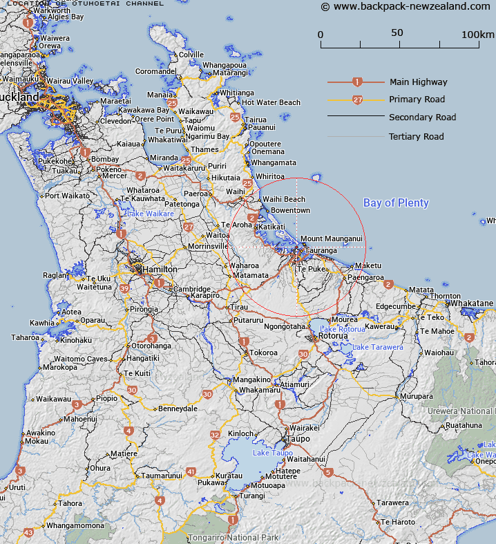
Map showing location of Otumoetai Channel
LINZ description: An undersea feature within Tauranga Harbour, located off the northern shores of the suburb of Otūmoetai, extending from its confluence with Tilby Channel and Western Channel, and trending east for approximately 4.5km to its confluence with Stella Passage. Width varies around 300 m, with tidal depth ranging from 1-6m. From NZTopo50-BD37 767284 to 802276. Depicted on Chart NZ 5412.
Latitude: -37.657556
Longitude: 176.148934
Northing: 5827512.5
Easting: 1877784.4
Land District: South Auckland
Feat Type: Channel
Latitude: -37.657556
Longitude: 176.148934
Northing: 5827512.5
Easting: 1877784.4
Land District: South Auckland
Feat Type: Channel

Scroll down to see a more detailed road map and below that a topographical map showing the location of Otumoetai Channel. The road map has been supplied by openstreetmap and the topographical map of Otumoetai Channel has been supplied by Land Information New Zealand (LINZ).
Yes you can use the top static map for you school/university project or personal website with a link back. Contact me for any commercial use.
[ A ] [ B ] [ C ] [ D ] [ E ] [ F ] [ G ] [ H ] [ I ] [ J ] [ K ] [ L ] [ M ] [ N ] [ O ] [ P ] [ Q ] [ R ] [ S ] [ T ] [ U ] [ V ] [ W ] [ X ] [ Y ] [ Z ]