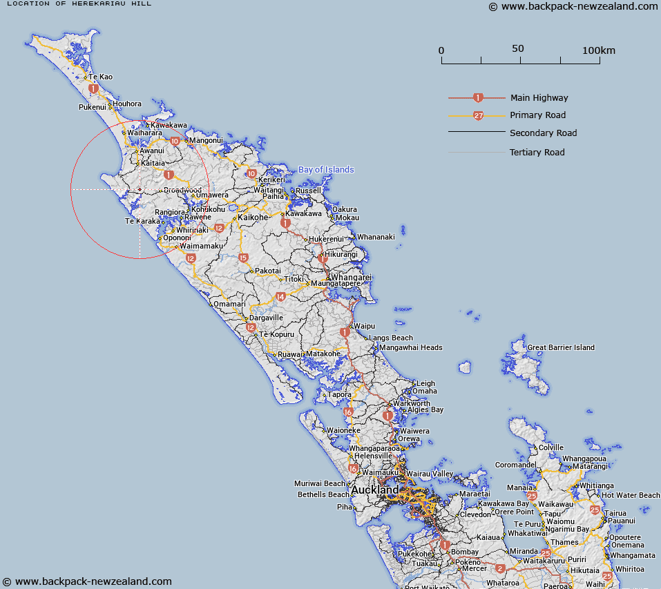
Map showing location of Herekariau Hill
LINZ description: Hill with a height of 177m, located approximately 15km south of Kaitaia.
Latitude: -35.249075
Longitude: 173.275902
Northing: 6099300
Easting: 1625100
Land District: North Auckland
Feat Type: Hill
Latitude: -35.249075
Longitude: 173.275902
Northing: 6099300
Easting: 1625100
Land District: North Auckland
Feat Type: Hill

Scroll down to see a more detailed road map and below that a topographical map showing the location of Herekariau Hill. The road map has been supplied by openstreetmap and the topographical map of Herekariau Hill has been supplied by Land Information New Zealand (LINZ).
Yes you can use the top static map for you school/university project or personal website with a link back. Contact me for any commercial use.
[ A ] [ B ] [ C ] [ D ] [ E ] [ F ] [ G ] [ H ] [ I ] [ J ] [ K ] [ L ] [ M ] [ N ] [ O ] [ P ] [ Q ] [ R ] [ S ] [ T ] [ U ] [ V ] [ W ] [ X ] [ Y ] [ Z ]