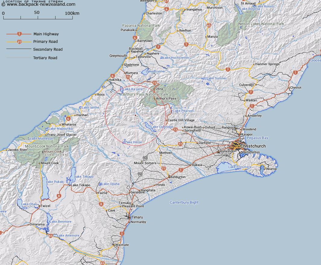
Map showing location of Takahe Stream


LINZ description: Right bank tributary of Wilberforce River, rising in the southern Rolleston Range 750m North of Turret Peak, flowing North-eastward and joining mathias River just south of Kiwi Stream. Block X Wilberforce River.
Latitude: -43.149529
Longitude: 171.325649
Northing: 5221219.3
Easting: 1463856.6
Land District: Canterbury
Feat Type: Stream


Scroll down to see a more detailed road map and below that a topographical map showing the location of Takahe Stream. The road map has been supplied by openstreetmap and the topographical map of Takahe Stream has been supplied by Land Information New Zealand (LINZ).

Yes you can use the top static map for you school/university project or personal website with a link back. Contact me for any commercial use.

Takahe Stream Map New Zealand


New Zealand places in our database
[ A ] [ B ] [ C ] [ D ] [ E ] [ F ] [ G ] [ H ] [ I ] [ J ] [ K ] [ L ] [ M ] [ N ] [ O ] [ P ] [ Q ] [ R ] [ S ] [ T ] [ U ] [ V ] [ W ] [ X ] [ Y ] [ Z ]


Closest 20 Streams to Takahe Stream

Wilberforce River ( 2.75km )   Kakapo Stream ( 4.13km )   Kiwi Stream ( 5.47km )   Fanghill Stream ( 5.79km )   Pukeko Stream ( 5.85km )   Boulderstone Stream ( 6.09km )   Moa Stream ( 6.24km )   North Stream ( 7.2km )   Chimera Stream ( 7.25km )   Bristed Stream ( 7.25km )   Boundary Stream ( 7.48km )   No. 1 Stream ( 8.02km )   No. 2 Stream ( 8.11km )   Revell Stream ( 8.16km )   No. 3 Stream ( 8.38km )   No. 4 Stream ( 8.65km )   No. 5 Stream ( 8.9km )   Mistake Creek ( 9.34km )   Gorgon Stream ( 9.48km )   Unknown Stream ( 9.57km )   Fisher Stream ( 10.81km )   Gargarus Stream ( 11.08km )   Burnet Stream ( 11.19km )   Wilberforce Canal ( 11.2km )   Basin Creek ( 11.22km )   Hanging Basin Creek ( 11.23km )   Triangle Creek ( 11.55km )   Glenthorne Stream ( 11.72km )   Mid Basin Creek ( 11.88km )   Gibson Stream ( 12.09km )   Hanging Valley Creek ( 12.28km )   Oakden Canal ( 12.33km )   Titan Stream ( 12.34km )   Chamois Stream ( 12.4km )   Front Basin Stream ( 12.48km )   Lake Stream ( 12.51km )   Weka Stream ( 12.52km )   Boundary Creek ( 13.22km )   Harper River Diversion ( 13.49km )   Appleyard Stream ( 13.74km )