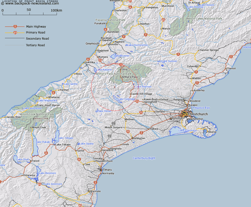
Map showing location of Front Basin Stream


LINZ description: Right bank tributary of Basin Creek rising 2km East of Back Basin, flowing North-eastward and joining Basin Creek 1.7km upstream of Avoca River. Block VIII Wilberforce Survey District.
Latitude: -43.101744
Longitude: 171.464768
Northing: 5226742.8
Easting: 1475071.4
Land District: Canterbury
Feat Type: Stream


Scroll down to see a more detailed road map and below that a topographical map showing the location of Front Basin Stream. The road map has been supplied by openstreetmap and the topographical map of Front Basin Stream has been supplied by Land Information New Zealand (LINZ).

Yes you can use the top static map for you school/university project or personal website with a link back. Contact me for any commercial use.

Front Basin Stream Map New Zealand


New Zealand places in our database
[ A ] [ B ] [ C ] [ D ] [ E ] [ F ] [ G ] [ H ] [ I ] [ J ] [ K ] [ L ] [ M ] [ N ] [ O ] [ P ] [ Q ] [ R ] [ S ] [ T ] [ U ] [ V ] [ W ] [ X ] [ Y ] [ Z ]


Closest 20 Streams to Front Basin Stream

Chamois Stream ( 1.81km )   Mid Basin Creek ( 1.81km )   Hanging Basin Creek ( 1.9km )   Basin Creek ( 2.06km )   Triangle Creek ( 4.05km )   Amphitheatre Creek ( 4.59km )   Galilee Creek ( 4.93km )   Easy Stream ( 5.84km )   Avoca River ( 5.85km )   Hanging Valley Creek ( 6.23km )   Blind Creek ( 6.65km )   Junction Stream ( 6.84km )   Fanghill Stream ( 7.13km )   Centre Creek ( 7.36km )   Boundary Stream ( 7.5km )   Lilian Creek ( 7.9km )   Fisher Stream ( 8.52km )   Gargarus Stream ( 8.88km )   Bristed Stream ( 8.99km )   Anti Crow River ( 9.11km )   Little Jordan Stream ( 9.15km )   Jordan Stream ( 9.42km )   Wilberforce River ( 9.76km )   Burnet Stream ( 10.28km )   Windy Creek ( 10.33km )   Power Stream ( 10.42km )   Long Creek ( 10.45km )   Corner Creek ( 10.81km )   Glenthorne Stream ( 11.06km )   Tarn Creek ( 11.24km )   Hidden Creek ( 11.81km )   Greenlaw Creek ( 11.89km )   Bruce Stream ( 11.98km )   Wilberforce Canal ( 12.44km )   Takahe Stream ( 12.48km )   Harper River ( 12.55km )   Weka Stream ( 12.7km )   Harper Creek ( 12.93km )   Mangos Creek ( 12.95km )   Catherine Stream ( 13.08km )