Map showing location of Taingaehe
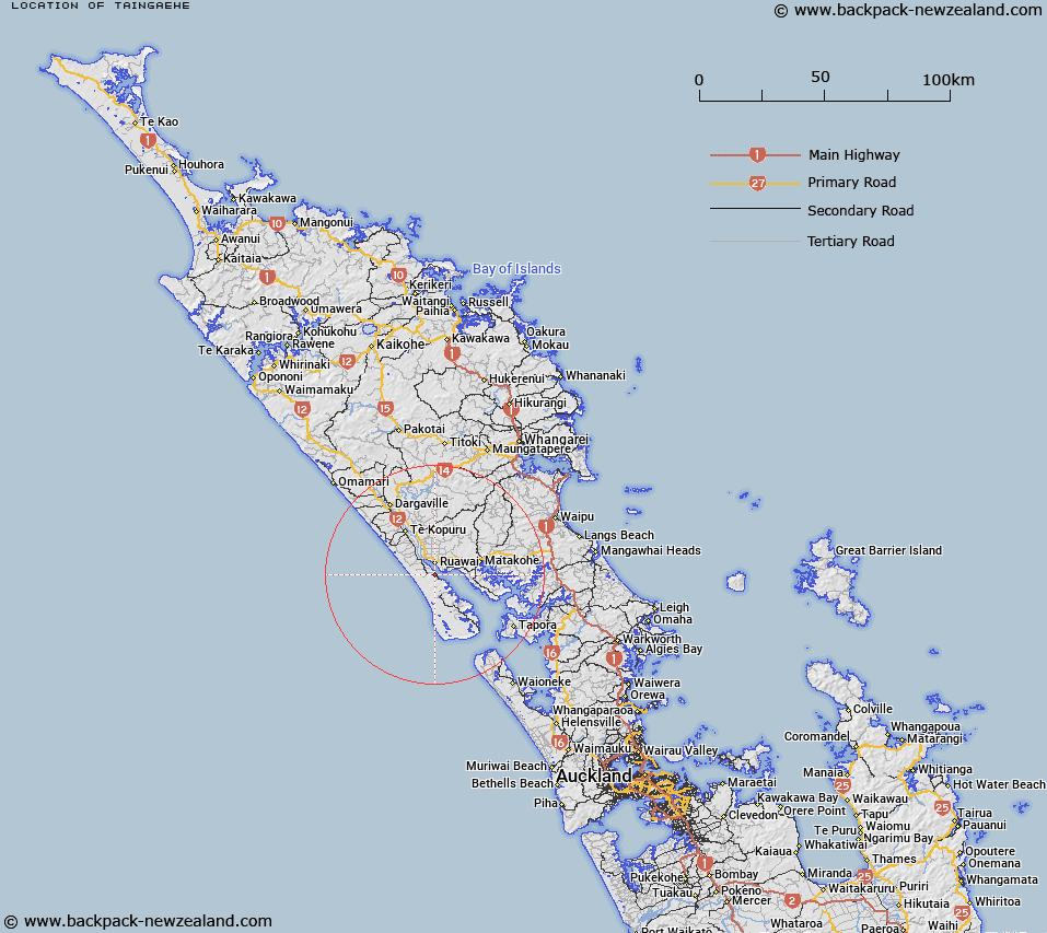
LINZ description: Locality on the Wairoa River, at the rivermouth opposite Awarea River in the Kaipara Harbour.
Latitude: -36.174607
Longitude: 174.023018
Northing: 5996200
Easting: 1692000
Land District: North Auckland
Feat Type: Locality
Latitude: -36.174607
Longitude: 174.023018
Northing: 5996200
Easting: 1692000
Land District: North Auckland
Feat Type: Locality

Scroll down to see a more detailed road map and below that a topographical map showing the location of Taingaehe. The road map has been supplied by openstreetmap and the topographical map of Taingaehe has been supplied by Land Information New Zealand (LINZ).
Yes you can use the top static map for you school/university project or personal website with a link back. Contact me for any commercial use.
[ A ] [ B ] [ C ] [ D ] [ E ] [ F ] [ G ] [ H ] [ I ] [ J ] [ K ] [ L ] [ M ] [ N ] [ O ] [ P ] [ Q ] [ R ] [ S ] [ T ] [ U ] [ V ] [ W ] [ X ] [ Y ] [ Z ]