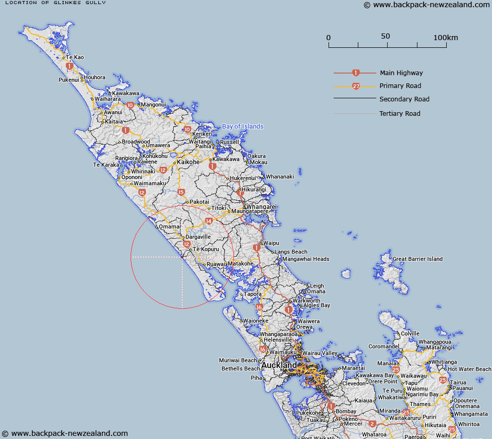
Map showing location of Glinkes Gully
LINZ description: Locality on the coast facing the Tasman Sea, 8km South West of Te Kopuru, and approximately 15km South by South-west of Dargaville. Block V Kopuru Survey District.
Latitude: -36.081366
Longitude: 173.858546
Northing: 6006685.7
Easting: 1677300
Land District: North Auckland
Feat Type: Locality
Latitude: -36.081366
Longitude: 173.858546
Northing: 6006685.7
Easting: 1677300
Land District: North Auckland
Feat Type: Locality

Scroll down to see a more detailed road map and below that a topographical map showing the location of Glinkes Gully. The road map has been supplied by openstreetmap and the topographical map of Glinkes Gully has been supplied by Land Information New Zealand (LINZ).
Yes you can use the top static map for you school/university project or personal website with a link back. Contact me for any commercial use.
[ A ] [ B ] [ C ] [ D ] [ E ] [ F ] [ G ] [ H ] [ I ] [ J ] [ K ] [ L ] [ M ] [ N ] [ O ] [ P ] [ Q ] [ R ] [ S ] [ T ] [ U ] [ V ] [ W ] [ X ] [ Y ] [ Z ]