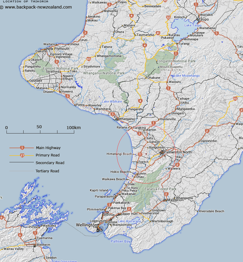
Map showing location of Taikoria
LINZ description: Locality 15km North-east of Foxton and 18km West of Palmerston North. Te Kawau Survey District.
Latitude: -40.368631
Longitude: 175.404144
Northing: 5528552.4
Easting: 1804119
Land District: Wellington
Feat Type: Locality
Latitude: -40.368631
Longitude: 175.404144
Northing: 5528552.4
Easting: 1804119
Land District: Wellington
Feat Type: Locality

Scroll down to see a more detailed road map and below that a topographical map showing the location of Taikoria. The road map has been supplied by openstreetmap and the topographical map of Taikoria has been supplied by Land Information New Zealand (LINZ).
Yes you can use the top static map for you school/university project or personal website with a link back. Contact me for any commercial use.
[ A ] [ B ] [ C ] [ D ] [ E ] [ F ] [ G ] [ H ] [ I ] [ J ] [ K ] [ L ] [ M ] [ N ] [ O ] [ P ] [ Q ] [ R ] [ S ] [ T ] [ U ] [ V ] [ W ] [ X ] [ Y ] [ Z ]