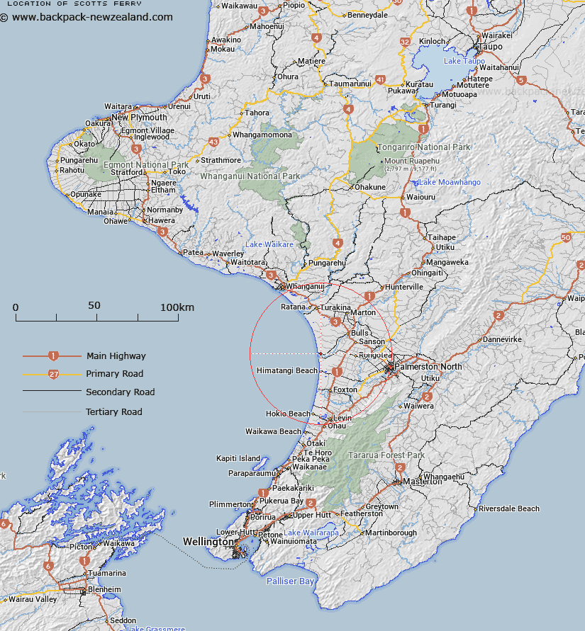
Map showing location of Scotts Ferry
LINZ description: Locality (populated) on the right bank of the Rangitikei River, 2km upstream of its mouth, and 2km north of Tangimoana.
Latitude: -40.280569
Longitude: 175.237307
Northing: 5538700
Easting: 1790200
Land District: Wellington
Feat Type: Locality
Latitude: -40.280569
Longitude: 175.237307
Northing: 5538700
Easting: 1790200
Land District: Wellington
Feat Type: Locality

Scroll down to see a more detailed road map and below that a topographical map showing the location of Scotts Ferry. The road map has been supplied by openstreetmap and the topographical map of Scotts Ferry has been supplied by Land Information New Zealand (LINZ).
Yes you can use the top static map for you school/university project or personal website with a link back. Contact me for any commercial use.
[ A ] [ B ] [ C ] [ D ] [ E ] [ F ] [ G ] [ H ] [ I ] [ J ] [ K ] [ L ] [ M ] [ N ] [ O ] [ P ] [ Q ] [ R ] [ S ] [ T ] [ U ] [ V ] [ W ] [ X ] [ Y ] [ Z ]