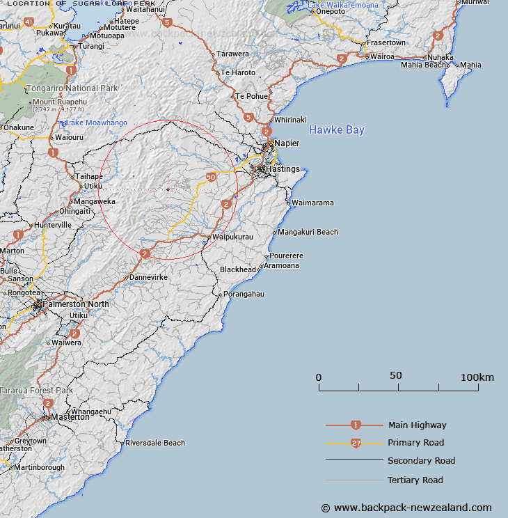
Map showing location of Sugar Loaf Peak


LINZ description: Approximately one mile south-east of Crag Peak. Wakarara Survey District.
Latitude: -39.743036
Longitude: 176.327255
Northing: 5595466.7
Easting: 1885104.8
Land District: Hawke's Bay
Feat Type: Hill


Scroll down to see a more detailed road map and below that a topographical map showing the location of Sugar Loaf Peak. The road map has been supplied by openstreetmap and the topographical map of Sugar Loaf Peak has been supplied by Land Information New Zealand (LINZ).

Yes you can use the top static map for you school/university project or personal website with a link back. Contact me for any commercial use.

Sugar Loaf Peak Map New Zealand


New Zealand places in our database
[ A ] [ B ] [ C ] [ D ] [ E ] [ F ] [ G ] [ H ] [ I ] [ J ] [ K ] [ L ] [ M ] [ N ] [ O ] [ P ] [ Q ] [ R ] [ S ] [ T ] [ U ] [ V ] [ W ] [ X ] [ Y ] [ Z ]


Closest 20 Hills to Sugar Loaf Peak

Crag Peak ( 0.86km )   Pound Hill ( 2.95km )   Bald Hill ( 3.6km )   The Tump Peak ( 3.61km )   Breakheart Peak ( 7.55km )   Rocky Knoll ( 9.85km )   Mount Mary ( 11.02km )   Maropea ( 12.91km )   Te Atua Mahuru ( 13.09km )   Patiki ( 13.11km )   Orupu ( 13.24km )   Ina Rock ( 13.54km )   Tupari ( 13.58km )   Maroparea ( 13.9km )   Piopio ( 14.06km )   Three Fingers ( 14.67km )   Remutupo ( 14.72km )   Rangiwhakamataku ( 15.04km )   Folgers Hill ( 15.53km )   Waikamaka ( 16.23km )   Three Johns Peak ( 16.53km )   Ohawai ( 17.07km )   Potae ( 17.39km )   Puketaramea ( 17.47km )   Piringa ( 17.55km )   Lookout Hill ( 17.93km )   Ben Lomond ( 18.25km )   Rongotea ( 18.47km )   Ikawetea ( 18.5km )   Rangioteatua ( 18.57km )   Makirikiri ( 19.02km )   Tauwharepokoru ( 19.21km )   Big Hill ( 19.21km )   Tikorangi ( 19.31km )   Rakautaonga ( 19.6km )   Te Rakaunuiakura ( 20.07km )   Hikurangi ( 21.03km )   Lessong Monument ( 21.49km )   Titapu ( 21.58km )   Pukenui ( 22.53km )