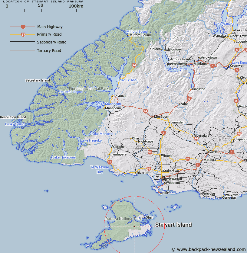
Map showing location of Stewart Island/Rakiura


LINZ description: Feature shown on: NZMS265/2; Infomap 346-02 Te Wai Pounamu Edition 1 1995; NZTopo50-CJ09 199826
Latitude: -47.000818
Longitude: 167.999849
Northing: 4782600
Easting: 1219900
Land District: Southland
Feat Type: Island


Scroll down to see a more detailed road map and below that a topographical map showing the location of Stewart Island/Rakiura. The road map has been supplied by openstreetmap and the topographical map of Stewart Island/Rakiura has been supplied by Land Information New Zealand (LINZ).

Yes you can use the top static map for you school/university project or personal website with a link back. Contact me for any commercial use.
Stewart Island/Rakiura Map New Zealand


New Zealand places in our database
[ A ] [ B ] [ C ] [ D ] [ E ] [ F ] [ G ] [ H ] [ I ] [ J ] [ K ] [ L ] [ M ] [ N ] [ O ] [ P ] [ Q ] [ R ] [ S ] [ T ] [ U ] [ V ] [ W ] [ X ] [ Y ] [ Z ]


Closest 20 Islands to Stewart Island/Rakiura

Blue Gum Island ( 10.74km )   Kidney Fern Island ( 11km )   Mudflat Island ( 11.02km )   Tamihau Island ( 11.05km )   Tommy Island ( 11.07km )   Bravo Island ( 11.21km )   Refuge Island ( 11.27km )   Crayfish Island ( 11.51km )   Goat Island ( 11.79km )   Dirty Island ( 11.8km )   Groper Island ( 12.24km )   Burial Island ( 12.46km )   Ulva Island ( 12.51km )   Boat Passage Islands ( 12.77km )   Faith Hope and Charity Group ( 13.43km )   Iona Island ( 13.96km )   White Rock ( 14.58km )   Cow Island ( 14.88km )   Native Island ( 15.08km )   Thomson Nugget ( 15.23km )   Old Mill Nugget ( 15.49km )   Kopeka Island ( 15.85km )   Chew Tobacco Island ( 16.03km )   Pihore Island ( 16.03km )   Bragg Nugget ( 16.23km )   Pukaweka Island ( 17.67km )   Weka Island ( 17.67km )   Owen Island (Horomamae) ( 17.92km )   Horomamae Island (Owen) ( 17.92km )   Horomamae/Owen Island ( 17.92km )   Horseshoe Nugget ( 18.28km )   Black Rock ( 18.48km )   Tia Island (Entrance) ( 18.52km )   Nathans Island ( 19.04km )   Pukawahakura Island ( 19.05km )   Rukawahakura Island ( 19.05km )   Pohomatakiarehua Island ( 19.25km )   Pomatakiarehua Island ( 19.25km )   Potuatua Island ( 19.4km )   Pohotuatua Island ( 19.4km )