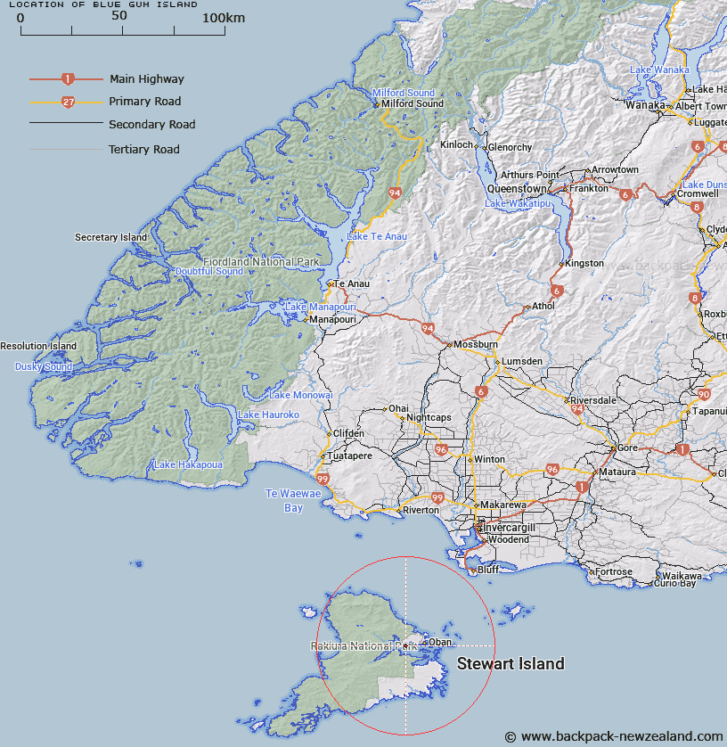
Map showing location of Blue Gum Island


LINZ description: Island, 7 to 8 metres across in Prices Inlet, North of, and opposite the bay Whalers Base, Stewart Island. Block XV Paterson Survey District.
Latitude: -46.909946
Longitude: 168.04798
Northing: 4792928.5
Easting: 1222918.9
Land District: Southland
Feat Type: Island


Scroll down to see a more detailed road map and below that a topographical map showing the location of Blue Gum Island. The road map has been supplied by openstreetmap and the topographical map of Blue Gum Island has been supplied by Land Information New Zealand (LINZ).

Yes you can use the top static map for you school/university project or personal website with a link back. Contact me for any commercial use.

Blue Gum Island Map New Zealand


New Zealand places in our database
[ A ] [ B ] [ C ] [ D ] [ E ] [ F ] [ G ] [ H ] [ I ] [ J ] [ K ] [ L ] [ M ] [ N ] [ O ] [ P ] [ Q ] [ R ] [ S ] [ T ] [ U ] [ V ] [ W ] [ X ] [ Y ] [ Z ]


Closest 20 Islands to Blue Gum Island

Kidney Fern Island ( 0.29km )   Burial Island ( 2.21km )   Dirty Island ( 2.55km )   Mudflat Island ( 3.64km )   Faith Hope and Charity Group ( 4.77km )   Tamihau Island ( 5.19km )   Iona Island ( 5.66km )   Old Mill Nugget ( 6.62km )   Thomson Nugget ( 6.66km )   Ulva Island ( 6.86km )   Bragg Nugget ( 7.25km )   Refuge Island ( 7.48km )   Tommy Island ( 7.87km )   Crayfish Island ( 7.93km )   Native Island ( 8.02km )   Horseshoe Nugget ( 8.63km )   Bravo Island ( 8.83km )   Goat Island ( 8.86km )   Groper Island ( 8.91km )   Nathans Island ( 9.05km )   Boat Passage Islands ( 10.42km )   Stewart Island ( 10.74km )   Stewart Island/Rakiura ( 10.74km )   Fish Rock ( 10.99km )   Cow Island ( 10.99km )   Jacky Lee Island ( 14.18km )   Pukeokaoka Island ( 14.18km )   Bench Island ( 14.43km )   Herekopare Island (Te Marama) ( 14.48km )   Te Marama Island ( 14.48km )   Edwards Island ( 15.24km )   Motunui/Edwards Island ( 15.24km )   Maria Higgins Rock ( 15.7km )   The Haystacks ( 15.87km )   Chew Tobacco Island ( 16.5km )   Pihore Island ( 16.5km )   Bunker Islets ( 17.33km )   Womens Island ( 17.82km )   Pikoiti Island ( 17.88km )   North Island ( 17.88km )