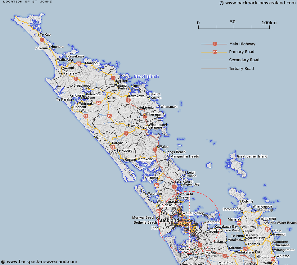
Map showing location of St Johns
LINZ description: Auckland City. District bounded by Merton Road, St Johns Road and the railway to the east generally. Blocks IX Rangitoto and II Otahuhu Survey Districts.
Latitude: -36.877081
Longitude: 174.844032
Northing: 5917175.9
Easting: 1764346.5
Land District: North Auckland
Feat Type: Suburb
Latitude: -36.877081
Longitude: 174.844032
Northing: 5917175.9
Easting: 1764346.5
Land District: North Auckland
Feat Type: Suburb

Scroll down to see a more detailed road map and below that a topographical map showing the location of St Johns. The road map has been supplied by openstreetmap and the topographical map of St Johns has been supplied by Land Information New Zealand (LINZ).
Yes you can use the top static map for you school/university project or personal website with a link back. Contact me for any commercial use.
[ A ] [ B ] [ C ] [ D ] [ E ] [ F ] [ G ] [ H ] [ I ] [ J ] [ K ] [ L ] [ M ] [ N ] [ O ] [ P ] [ Q ] [ R ] [ S ] [ T ] [ U ] [ V ] [ W ] [ X ] [ Y ] [ Z ]