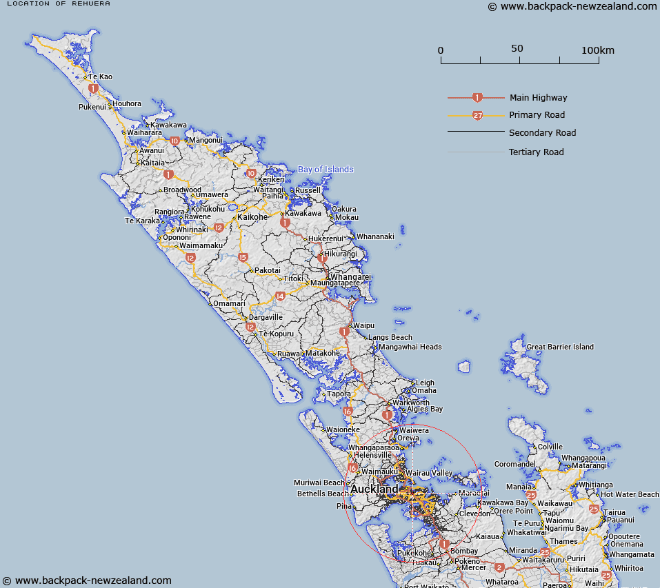
Map showing location of Remuera


LINZ description: Suburb of Auckland City, east of Newmarket.
Latitude: -36.876675
Longitude: 174.797502
Northing: 5917300
Easting: 1760200
Land District: North Auckland
Feat Type: Suburb


Scroll down to see a more detailed road map and below that a topographical map showing the location of Remuera. The road map has been supplied by openstreetmap and the topographical map of Remuera has been supplied by Land Information New Zealand (LINZ).

Yes you can use the top static map for you school/university project or personal website with a link back. Contact me for any commercial use.

Remuera Map New Zealand


New Zealand places in our database
[ A ] [ B ] [ C ] [ D ] [ E ] [ F ] [ G ] [ H ] [ I ] [ J ] [ K ] [ L ] [ M ] [ N ] [ O ] [ P ] [ Q ] [ R ] [ S ] [ T ] [ U ] [ V ] [ W ] [ X ] [ Y ] [ Z ]


Closest 20 Suburbs to Remuera

Greenlane ( 1.97km )   Parnell ( 2.52km )   Ellerslie ( 2.69km )   One Tree Hill ( 2.83km )   Epsom ( 2.92km )   Grafton ( 2.94km )   Meadowbank ( 2.98km )   Orakei ( 3.06km )   Mechanics Bay ( 3.57km )   Eden Terrace ( 3.61km )   Oranga ( 3.91km )   Stonefields ( 3.94km )   Penrose ( 3.95km )   Royal Oak ( 4.06km )   St Johns ( 4.14km )   Mission Bay ( 4.18km )   Saint Johns ( 4.27km )   Newton ( 4.46km )   Balmoral ( 4.63km )   Kohimarama ( 4.69km )   Arch Hill ( 4.87km )   Te Papapa ( 4.98km )   Southdown ( 5.16km )   Kingsland ( 5.2km )   Three Kings ( 5.22km )   Devonport ( 5.22km )   Freemans Bay ( 5.32km )   Morningside ( 5.69km )   Stanley Point ( 5.72km )   Stanley Bay ( 5.72km )   Grey Lynn ( 5.74km )   Point England ( 5.77km )   Cheltenham ( 5.78km )   Glen Innes ( 5.83km )   Ponsonby ( 5.85km )   Tamaki ( 6km )   Saint Marys Bay ( 6.11km )   Panmure ( 6.15km )   Western Springs ( 6.25km )   Sandringham ( 6.27km )