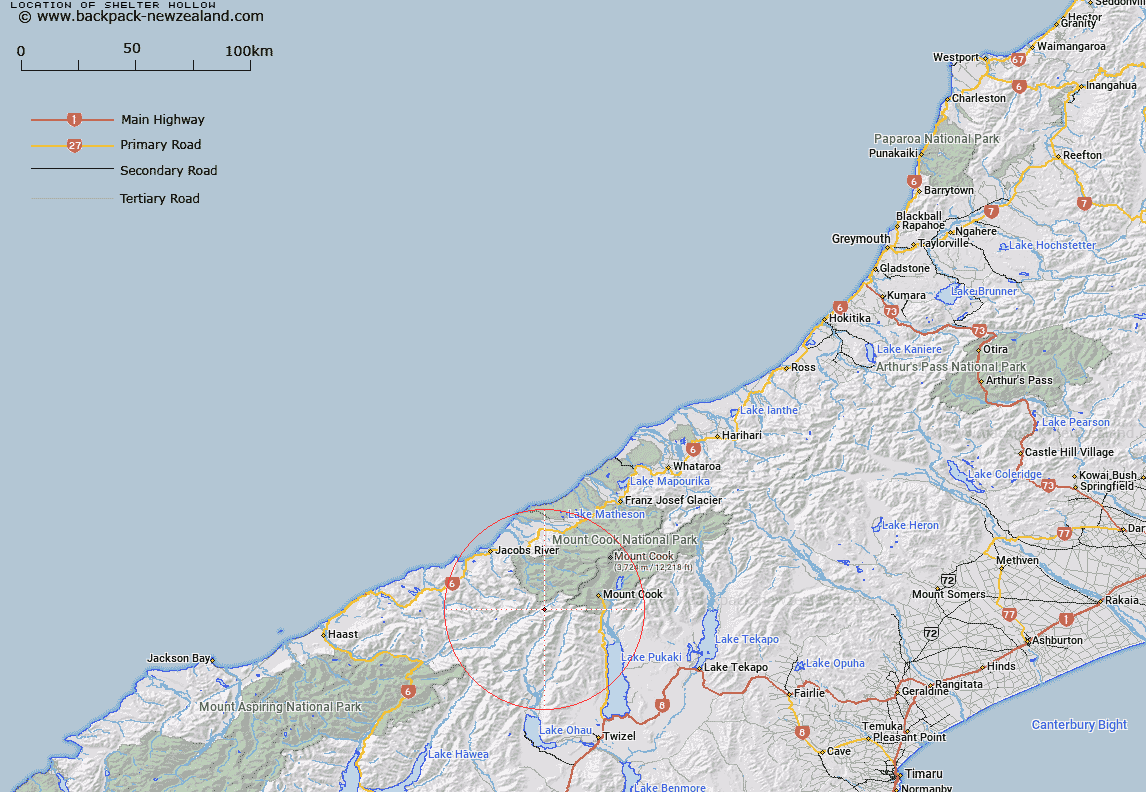
Map showing location of Shelter Hollow


LINZ description: Feature shown on: NZMS260 H37 Edition 1 1994
Latitude: -43.78525
Longitude: 169.890889
Northing: 5147279.3
Easting: 1349827.1
Land District: Westland
Feat Type: Valley


Scroll down to see a more detailed road map and below that a topographical map showing the location of Shelter Hollow. The road map has been supplied by openstreetmap and the topographical map of Shelter Hollow has been supplied by Land Information New Zealand (LINZ).

Yes you can use the top static map for you school/university project or personal website with a link back. Contact me for any commercial use.
Shelter Hollow Map New Zealand


New Zealand places in our database
[ A ] [ B ] [ C ] [ D ] [ E ] [ F ] [ G ] [ H ] [ I ] [ J ] [ K ] [ L ] [ M ] [ N ] [ O ] [ P ] [ Q ] [ R ] [ S ] [ T ] [ U ] [ V ] [ W ] [ X ] [ Y ] [ Z ]


Closest 20 Valleys to Shelter Hollow

Baffle Ravine ( 0.99km )   Arbor Rift ( 1.27km )   Also Gully ( 2.52km )   Hesper Gully ( 3.75km )   Zora Canyon ( 5.43km )   Upper Gates Gorge ( 24.77km )   Golden Gully ( 25.67km )   Manuka Gully ( 25.71km )   The Valley of Darkness ( 26.75km )   Plesant Valley ( 30.73km )   Disappointment Gully ( 32.2km )   Boltons Gully ( 37.56km )   Kea Gully ( 48.49km )   Wills Gorge ( 48.96km )   Slip Gully ( 49.6km )   Diamond Gully ( 50.83km )   Deep Gully ( 51.15km )   Stuart Gully ( 51.54km )   Curd Cataract ( 51.69km )   Long Gully ( 52.03km )   Toilsome Gully ( 54.6km )   Imp Grotto ( 54.75km )   Farewell Ravine ( 55.21km )   The Twister ( 55.38km )   Clamber Gully ( 56.71km )   Holdfast Hollow ( 57.46km )   Makarora Gorge ( 57.86km )   Detrition Gully ( 58.8km )   Tomahawk Gully ( 60.83km )   Sunset Gully ( 60.85km )   Silent Ravine ( 61.68km )   Risk Gully ( 62.22km )   Steepside Gully ( 62.92km )   Yards Gully ( 64.1km )   Murdoch Notch ( 64.22km )   Cairn Gully ( 64.64km )   John Gully ( 65.26km )   Exhibition Gully ( 65.64km )   Trap Gully ( 66.76km )   Bricks Gully ( 68.08km )