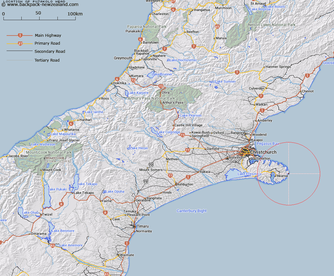
Map showing location of Putakolo Head
LINZ description: Feature shown on: NZMS260 N36
A small distinctive headland, facing south-east, along the eastern-most coastline of Banks Peninsula, north of Hickory Bay. NZTopo50 map BY25 – Akaroa, GR 103 529. Spelling alteration from Putakolo Head (recorded name).
Latitude: -43.776854
Longitude: 173.128328
Northing: 5152903
Easting: 1610327.1
Land District: Canterbury
Feat Type: Point
Latitude: -43.776854
Longitude: 173.128328
Northing: 5152903
Easting: 1610327.1
Land District: Canterbury
Feat Type: Point

Scroll down to see a more detailed road map and below that a topographical map showing the location of Putakolo Head. The road map has been supplied by openstreetmap and the topographical map of Putakolo Head has been supplied by Land Information New Zealand (LINZ).
Yes you can use the top static map for you school/university project or personal website with a link back. Contact me for any commercial use.
[ A ] [ B ] [ C ] [ D ] [ E ] [ F ] [ G ] [ H ] [ I ] [ J ] [ K ] [ L ] [ M ] [ N ] [ O ] [ P ] [ Q ] [ R ] [ S ] [ T ] [ U ] [ V ] [ W ] [ X ] [ Y ] [ Z ]