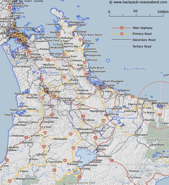
Map showing location of Port Ohope
LINZ description: Locality being the area comprising the peninsula extending from the western boundary of part subdivision B 2 of Section 246, Waimana Parish, to the entrance to Ohiwa Harbour. Whakatane Survey District.
Latitude: -37.984549
Longitude: 177.117118
Northing: 5787895.2
Easting: 1961623.9
Land District: South Auckland
Feat Type: Locality
Latitude: -37.984549
Longitude: 177.117118
Northing: 5787895.2
Easting: 1961623.9
Land District: South Auckland
Feat Type: Locality

Scroll down to see a more detailed road map and below that a topographical map showing the location of Port Ohope. The road map has been supplied by openstreetmap and the topographical map of Port Ohope has been supplied by Land Information New Zealand (LINZ).
Yes you can use the top static map for you school/university project or personal website with a link back. Contact me for any commercial use.
[ A ] [ B ] [ C ] [ D ] [ E ] [ F ] [ G ] [ H ] [ I ] [ J ] [ K ] [ L ] [ M ] [ N ] [ O ] [ P ] [ Q ] [ R ] [ S ] [ T ] [ U ] [ V ] [ W ] [ X ] [ Y ] [ Z ]