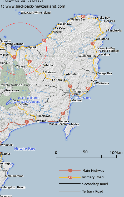
Map showing location of Waiotahi
LINZ description: A locality approximately 9 km west south-west of Opotiki. NZTopo50-BE40 681831.
Latitude: -38.024845
Longitude: 177.192547
Northing: 5783125
Easting: 1968050
Land District: Gisborne
Feat Type: Locality
Latitude: -38.024845
Longitude: 177.192547
Northing: 5783125
Easting: 1968050
Land District: Gisborne
Feat Type: Locality

Scroll down to see a more detailed road map and below that a topographical map showing the location of Waiotahi. The road map has been supplied by openstreetmap and the topographical map of Waiotahi has been supplied by Land Information New Zealand (LINZ).
Yes you can use the top static map for you school/university project or personal website with a link back. Contact me for any commercial use.
[ A ] [ B ] [ C ] [ D ] [ E ] [ F ] [ G ] [ H ] [ I ] [ J ] [ K ] [ L ] [ M ] [ N ] [ O ] [ P ] [ Q ] [ R ] [ S ] [ T ] [ U ] [ V ] [ W ] [ X ] [ Y ] [ Z ]