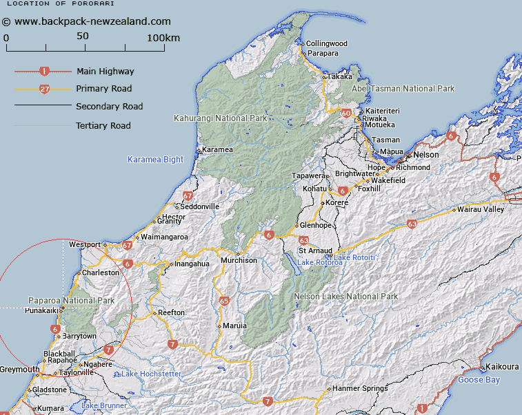
Map showing location of Pororari
LINZ description: Locality near Perpendicular Point, approximately 3km north-east of Punakaiki
Latitude: -42.087769
Longitude: 171.347838
Northing: 5339158.1
Easting: 1463358.1
Land District: Nelson
Feat Type: Locality
Latitude: -42.087769
Longitude: 171.347838
Northing: 5339158.1
Easting: 1463358.1
Land District: Nelson
Feat Type: Locality

Scroll down to see a more detailed road map and below that a topographical map showing the location of Pororari. The road map has been supplied by openstreetmap and the topographical map of Pororari has been supplied by Land Information New Zealand (LINZ).
Yes you can use the top static map for you school/university project or personal website with a link back. Contact me for any commercial use.
[ A ] [ B ] [ C ] [ D ] [ E ] [ F ] [ G ] [ H ] [ I ] [ J ] [ K ] [ L ] [ M ] [ N ] [ O ] [ P ] [ Q ] [ R ] [ S ] [ T ] [ U ] [ V ] [ W ] [ X ] [ Y ] [ Z ]