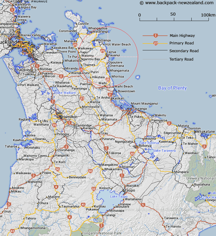
Map showing location of Pauanui
LINZ description: For hill and trig site east of Tairua Harbour in Block XIV, Whitianga Survey District
Latitude: -37.035919
Longitude: 175.873929
Northing: 5897279.7
Easting: 1855620.3
Land District: South Auckland
Feat Type: Hill
Latitude: -37.035919
Longitude: 175.873929
Northing: 5897279.7
Easting: 1855620.3
Land District: South Auckland
Feat Type: Hill

Scroll down to see a more detailed road map and below that a topographical map showing the location of Pauanui. The road map has been supplied by openstreetmap and the topographical map of Pauanui has been supplied by Land Information New Zealand (LINZ).
Yes you can use the top static map for you school/university project or personal website with a link back. Contact me for any commercial use.
[ A ] [ B ] [ C ] [ D ] [ E ] [ F ] [ G ] [ H ] [ I ] [ J ] [ K ] [ L ] [ M ] [ N ] [ O ] [ P ] [ Q ] [ R ] [ S ] [ T ] [ U ] [ V ] [ W ] [ X ] [ Y ] [ Z ]