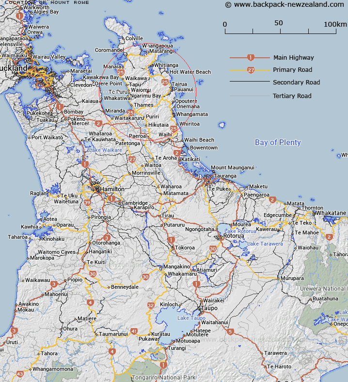
Map showing location of Mount Rowe
LINZ description: Hill (794m) in the Coromandel Range, 1.3km North-east of the high point of Table Mountain. Trig. 97 (Geodetic Code A6AX) on summit. Block XI Whitianga Survey District.
Latitude: -37.037316
Longitude: 175.668962
Northing: 5897656.5
Easting: 1837381.4
Land District: South Auckland
Feat Type: Hill
Latitude: -37.037316
Longitude: 175.668962
Northing: 5897656.5
Easting: 1837381.4
Land District: South Auckland
Feat Type: Hill

Scroll down to see a more detailed road map and below that a topographical map showing the location of Mount Rowe. The road map has been supplied by openstreetmap and the topographical map of Mount Rowe has been supplied by Land Information New Zealand (LINZ).
Yes you can use the top static map for you school/university project or personal website with a link back. Contact me for any commercial use.
[ A ] [ B ] [ C ] [ D ] [ E ] [ F ] [ G ] [ H ] [ I ] [ J ] [ K ] [ L ] [ M ] [ N ] [ O ] [ P ] [ Q ] [ R ] [ S ] [ T ] [ U ] [ V ] [ W ] [ X ] [ Y ] [ Z ]