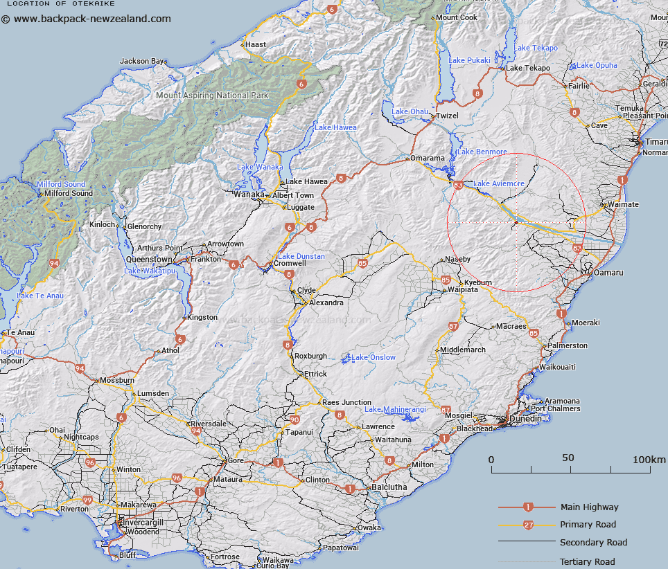
Map showing location of Otekaike
LINZ description: Locality on the main highway, near the junction of the Waitaki and Otekaieke Rivers, 12km South-east of Kurow. Maerewhenua Survey District.
Latitude: -44.823244
Longitude: 170.560905
Northing: 5033790.5
Easting: 1407171.4
Land District: Otago
Feat Type: Locality
Latitude: -44.823244
Longitude: 170.560905
Northing: 5033790.5
Easting: 1407171.4
Land District: Otago
Feat Type: Locality

Scroll down to see a more detailed road map and below that a topographical map showing the location of Otekaike. The road map has been supplied by openstreetmap and the topographical map of Otekaike has been supplied by Land Information New Zealand (LINZ).
Yes you can use the top static map for you school/university project or personal website with a link back. Contact me for any commercial use.
[ A ] [ B ] [ C ] [ D ] [ E ] [ F ] [ G ] [ H ] [ I ] [ J ] [ K ] [ L ] [ M ] [ N ] [ O ] [ P ] [ Q ] [ R ] [ S ] [ T ] [ U ] [ V ] [ W ] [ X ] [ Y ] [ Z ]