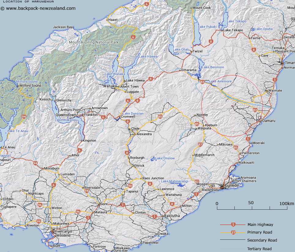
Map showing location of Maruwenua
LINZ description: Locality on the left bank of the Maerewhenua River, 8km South-west of Duntroon. Maerewhenua Survey District.
Latitude: -44.912452
Longitude: 170.611668
Northing: 5024000
Easting: 1411476.2
Land District: Otago
Feat Type: Locality
Latitude: -44.912452
Longitude: 170.611668
Northing: 5024000
Easting: 1411476.2
Land District: Otago
Feat Type: Locality

Scroll down to see a more detailed road map and below that a topographical map showing the location of Maruwenua. The road map has been supplied by openstreetmap and the topographical map of Maruwenua has been supplied by Land Information New Zealand (LINZ).
Yes you can use the top static map for you school/university project or personal website with a link back. Contact me for any commercial use.
[ A ] [ B ] [ C ] [ D ] [ E ] [ F ] [ G ] [ H ] [ I ] [ J ] [ K ] [ L ] [ M ] [ N ] [ O ] [ P ] [ Q ] [ R ] [ S ] [ T ] [ U ] [ V ] [ W ] [ X ] [ Y ] [ Z ]