Map showing location of Otatara Bay


LINZ description: Feature shown on: NZMS260 Q26 Pt P26 Edition 2 1997
Latitude: -41.083556
Longitude: 174.022861
Northing: 5451463.4
Easting: 1685916.1
Land District: Marlborough
Feat Type: Bay
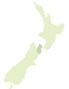

Scroll down to see a more detailed road map and below that a topographical map showing the location of Otatara Bay. The road map has been supplied by openstreetmap and the topographical map of Otatara Bay has been supplied by Land Information New Zealand (LINZ).

Yes you can use the top static map for you school/university project or personal website with a link back. Contact me for any commercial use.
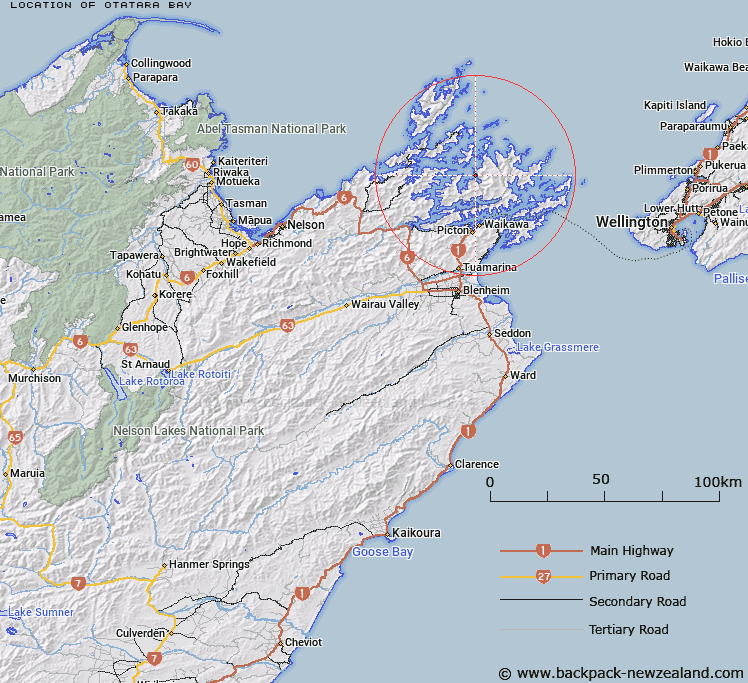
Otatara Bay Map New Zealand


New Zealand places in our database
[ A ] [ B ] [ C ] [ D ] [ E ] [ F ] [ G ] [ H ] [ I ] [ J ] [ K ] [ L ] [ M ] [ N ] [ O ] [ P ] [ Q ] [ R ] [ S ] [ T ] [ U ] [ V ] [ W ] [ X ] [ Y ] [ Z ]


Closest 20 Bays to Otatara Bay

Otatara Bay ( 0km )   Waimaru Bay ( 0.8km )   Grant Bay ( 2.19km )   Clova Bay ( 2.64km )   Tuhitarata Bay ( 3.57km )   Hopai Bay ( 3.73km )   Laverique Bay ( 4.32km )   Old Homewood Bay ( 4.92km )   Beatrix Bay ( 5.05km )   Kauauroa Bay ( 5.94km )   Crail Bay ( 5.95km )   Elie Bay ( 6.26km )   Marys Bay ( 6.74km )   Tawhitinui Bay ( 7.74km )   Wet Inlet ( 8.31km )   South East Bay ( 8.61km )   Horseshoe Bay ( 8.67km )   Anakoha Bay ( 9.04km )   Waitaria Bay ( 9.18km )   Richmond Bay ( 9.31km )   Forsyth Bay ( 9.49km )   Pelorus Sound ( 9.57km )   Pelorus Sound / Te Hoiere ( 9.57km )   Wilson Bay ( 9.63km )   Goulter Bay ( 9.95km )   Yncyca Bay ( 10.78km )   Ketu Bay ( 10.92km )   Fish Bay ( 10.92km )   Big Bay ( 11.14km )   Kate Bay ( 11.17km )   Pigeon Bay ( 11.23km )   Mills Bay ( 11.35km )   Ohauparuparu Bay ( 11.39km )   Te Matau a Maui Bay ( 11.51km )   North West Bay ( 11.54km )   Camp Bay ( 11.6km )   Miro Bay ( 11.7km )   Jacobs Bay ( 11.86km )   Gold Reef Bay ( 12.1km )   Take in Bay ( 12.11km )