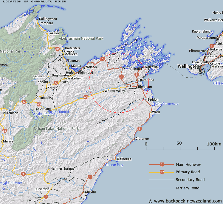
Map showing location of Onamalutu River


LINZ description: A stream flowing from Richmond Range near Mount Sunday into Wairau River approximately 4 km northwest of Renwick. Feature shown on: NZMS260 P28 Edition 2 1985 Limited Revision 1997; NZTopo50-BQ27 556153 - BQ28 675082.
Latitude: -41.462889
Longitude: 173.729417
Northing: 5409599.1
Easting: 1660914.1
Land District: Marlborough
Feat Type: Stream


Scroll down to see a more detailed road map and below that a topographical map showing the location of Onamalutu River. The road map has been supplied by openstreetmap and the topographical map of Onamalutu River has been supplied by Land Information New Zealand (LINZ).

Yes you can use the top static map for you school/university project or personal website with a link back. Contact me for any commercial use.

Onamalutu River Map New Zealand


New Zealand places in our database
[ A ] [ B ] [ C ] [ D ] [ E ] [ F ] [ G ] [ H ] [ I ] [ J ] [ K ] [ L ] [ M ] [ N ] [ O ] [ P ] [ Q ] [ R ] [ S ] [ T ] [ U ] [ V ] [ W ] [ X ] [ Y ] [ Z ]


Closest 20 Streams to Onamalutu River

Birdlip Stream ( 2.83km )   Nutmeg Creek ( 4.5km )   Greenlaws Stream ( 5.59km )   Woodhen Stream ( 5.89km )   Appletree Creek ( 6.18km )   Deer Park Stream ( 6.33km )   Flowers Creek ( 6.49km )   Deafy Stream ( 7.72km )   Okaramio River ( 8.17km )   Atahaua Stream ( 8.57km )   Thomsons Creek ( 8.59km )   Storeys Creek ( 8.75km )   Cockatoo Creek ( 8.89km )   Atahaua Creek ( 9.61km )   Hopeless Creek ( 9.84km )   Dangerous Creek ( 10.02km )   Gibsons Creek ( 10.02km )   Ruakanakana Creek ( 10.02km )   Criterion Creek ( 10.54km )   Gibsons Creek ( 10.65km )   Nuggety Stream ( 10.81km )   Rocky Creek ( 10.95km )   Big Goat Creek ( 11.24km )   Little Goat Creek ( 11.4km )   Rough Scrub Creek ( 11.44km )   Mill Stream ( 11.44km )   Black Valley Stream ( 11.62km )   Bartletts Creek ( 11.74km )   Foster Creek ( 11.89km )   Kaituna River ( 11.93km )   Ellis Creek ( 12.08km )   Doom Creek ( 12.12km )   Quartz Creek ( 12.21km )   Mortimer Stream ( 12.28km )   Sellars Stream ( 12.65km )   Tether-rope Creek ( 12.72km )   Devils Creek ( 12.85km )   Tawa Stream ( 12.86km )   Chimney Creek ( 12.97km )   Firewood Stream ( 13.21km )