Map showing location of Rocky Creek


LINZ description: Feature shown on: NZMS260 P27 Edition 2 1995
Latitude: -41.369611
Longitude: 173.771389
Northing: 5419924.3
Easting: 1664511.5
Land District: Marlborough
Feat Type: Stream
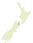

Scroll down to see a more detailed road map and below that a topographical map showing the location of Rocky Creek. The road map has been supplied by openstreetmap and the topographical map of Rocky Creek has been supplied by Land Information New Zealand (LINZ).

Yes you can use the top static map for you school/university project or personal website with a link back. Contact me for any commercial use.
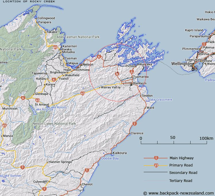
Rocky Creek Map New Zealand


New Zealand places in our database
[ A ] [ B ] [ C ] [ D ] [ E ] [ F ] [ G ] [ H ] [ I ] [ J ] [ K ] [ L ] [ M ] [ N ] [ O ] [ P ] [ Q ] [ R ] [ S ] [ T ] [ U ] [ V ] [ W ] [ X ] [ Y ] [ Z ]


Closest 20 Streams to Rocky Creek

Kaituna River ( 1.78km )   Dangerous Creek ( 2.42km )   Plunkett Stream ( 3.75km )   Okaramio River ( 4.28km )   Makahi Stream ( 4.86km )   Firewood Stream ( 4.91km )   Atahaua Creek ( 5.45km )   Tawa Stream ( 5.7km )   Waikaihu Stream ( 5.81km )   Dukeshead Stream ( 6.43km )   Muirs Stream ( 6.72km )   Waikakaho River ( 7km )   Little Goat Creek ( 7.41km )   Falls Creek ( 7.52km )   Rocky Creek ( 7.62km )   Whalers Creek ( 7.66km )   Atahaua Stream ( 7.69km )   Wheadon Creek ( 7.88km )   Sellars Stream ( 7.9km )   Prospector Creek ( 8km )   Big Goat Creek ( 8.08km )   Tether-rope Creek ( 8.09km )   Pig Creek ( 8.2km )   Hop - pole Creek ( 8.22km )   Mountain Camp Creek ( 8.27km )   Mortimer Stream ( 8.46km )   Golden Belt Stream ( 8.55km )   Olive Stream ( 8.57km )   Oliver Stream ( 8.71km )   Bulldog Creek ( 8.76km )   Chimney Creek ( 8.89km )   Fuller Creek ( 9.11km )   Rough Scrub Creek ( 9.22km )   Cullen Creek ( 9.22km )   Greek Stream ( 9.46km )   Taylor Creek ( 9.72km )   Ahern Creek ( 9.83km )   Matts Creek ( 9.84km )   Thompson Stream ( 10.05km )   Ruapake Stream ( 10.17km )