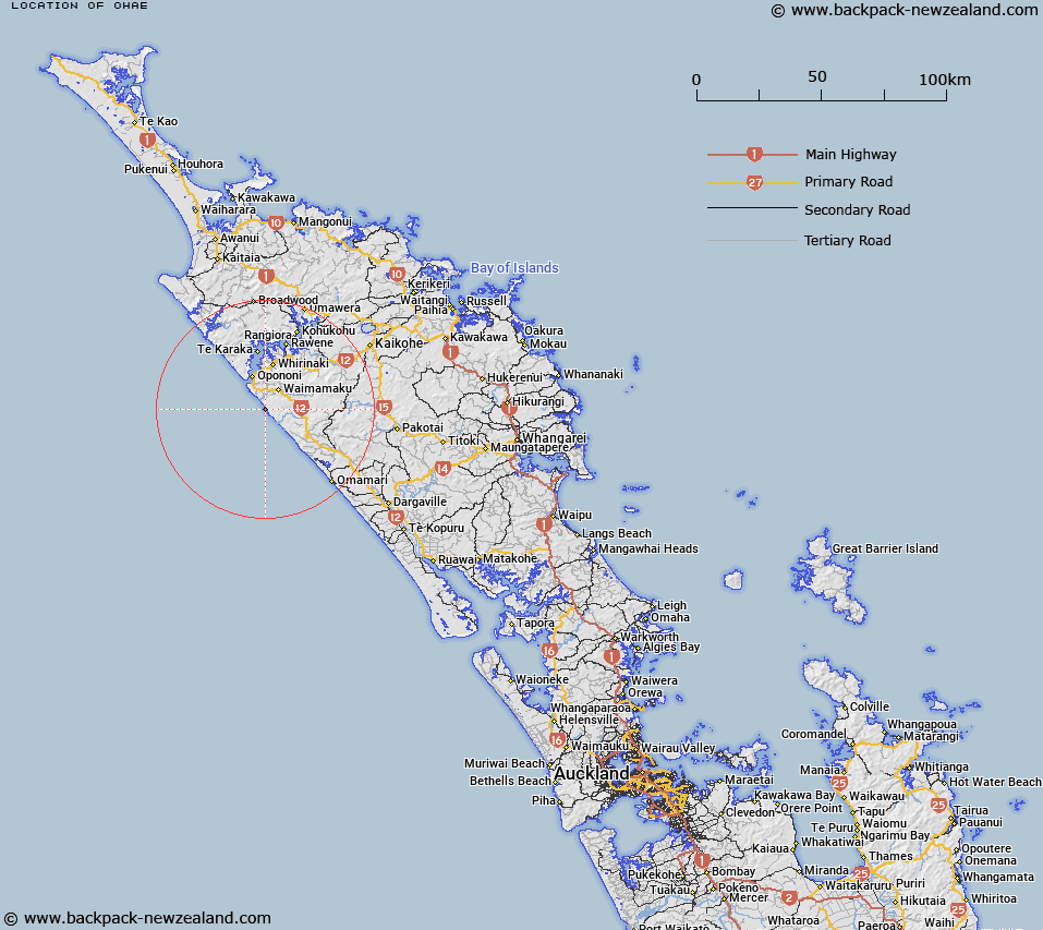
Map showing location of Ohae
LINZ description: Locality at the confluence of Ohae Stream with the sea, within the Kawerai Conservation area
Latitude: -35.622981
Longitude: 173.435095
Northing: 6057780
Easting: 1639400
Land District: North Auckland
Feat Type: Locality
Latitude: -35.622981
Longitude: 173.435095
Northing: 6057780
Easting: 1639400
Land District: North Auckland
Feat Type: Locality

Scroll down to see a more detailed road map and below that a topographical map showing the location of Ohae. The road map has been supplied by openstreetmap and the topographical map of Ohae has been supplied by Land Information New Zealand (LINZ).
Yes you can use the top static map for you school/university project or personal website with a link back. Contact me for any commercial use.
[ A ] [ B ] [ C ] [ D ] [ E ] [ F ] [ G ] [ H ] [ I ] [ J ] [ K ] [ L ] [ M ] [ N ] [ O ] [ P ] [ Q ] [ R ] [ S ] [ T ] [ U ] [ V ] [ W ] [ X ] [ Y ] [ Z ]