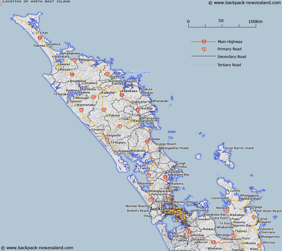
Map showing location of North East Island


LINZ description: An island approximately 57km north-west of Cape Reinga / Te Rerenga Wairua. It is the most north-eastern island of the Manawatāwhi / Three Kings Islands. Feature shown on: NZMS260 L01; NZTopo50-AS22 231229.
Latitude: -34.131722
Longitude: 172.166639
Northing: 6222925.2
Easting: 1523158.9
Land District: North Auckland
Feat Type: Island


Scroll down to see a more detailed road map and below that a topographical map showing the location of North East Island. The road map has been supplied by openstreetmap and the topographical map of North East Island has been supplied by Land Information New Zealand (LINZ).

Yes you can use the top static map for you school/university project or personal website with a link back. Contact me for any commercial use.

North East Island Map New Zealand


New Zealand places in our database
[ A ] [ B ] [ C ] [ D ] [ E ] [ F ] [ G ] [ H ] [ I ] [ J ] [ K ] [ L ] [ M ] [ N ] [ O ] [ P ] [ Q ] [ R ] [ S ] [ T ] [ U ] [ V ] [ W ] [ X ] [ Y ] [ Z ]


Closest 20 Islands to North East Island

Farmer Rocks ( 2.22km )   Manawat?whi/Great Island ( 4.12km )   Great Island (Manawa Tawhi) ( 4.12km )   Three Kings Islands ( 7.47km )   Manawat?whi/Three Kings Islands ( 7.47km )   South West Island ( 10.09km )   Moekawa / South West Island ( 10.09km )   Princes Islands ( 12.08km )   ?hau / West Island ( 13.59km )   West Island ( 13.59km )   Motuopao Island ( 57.14km )   Taupiri Island ( 59.12km )   Pananehe Island ( 71.09km )   Pananahe Island ( 71.09km )   Motupia Island ( 78.38km )   Matapia ( 78.38km )   Dog Island (Motuwhangaikirehe Island) ( 83.93km )   Murimotu Island ( 86.95km )   Kaipohue Island ( 89.21km )   Te Wakatehaua Island ( 90.53km )   Wakateh?ua Island ( 90.53km )   Motu Puruhi Island ( 114.2km )   Simmonds Islands ( 114.21km )   Terakautuhaka Island ( 114.22km )   Motuotuna Island ( 116.8km )   Tokoroa Island ( 118.32km )   Moturoa Island ( 129.52km )   Motutara Rocks ( 130.36km )   Motutapu Island ( 130.96km )   Green Island ( 130.96km )   Moturoa Islands ( 131.23km )   Sugarloaf Island ( 131.41km )   Tuputupungahau Island ( 132.85km )   Whale Island ( 132.85km )   Rocky Island ( 133.34km )   Scheigis Rock ( 133.4km )   T?huahua-Paopao-Karoro Island ( 134.5km )   Walker Island ( 134.5km )   Rat Island ( 135.19km )   Tangihana Shell Bank ( 135.29km )