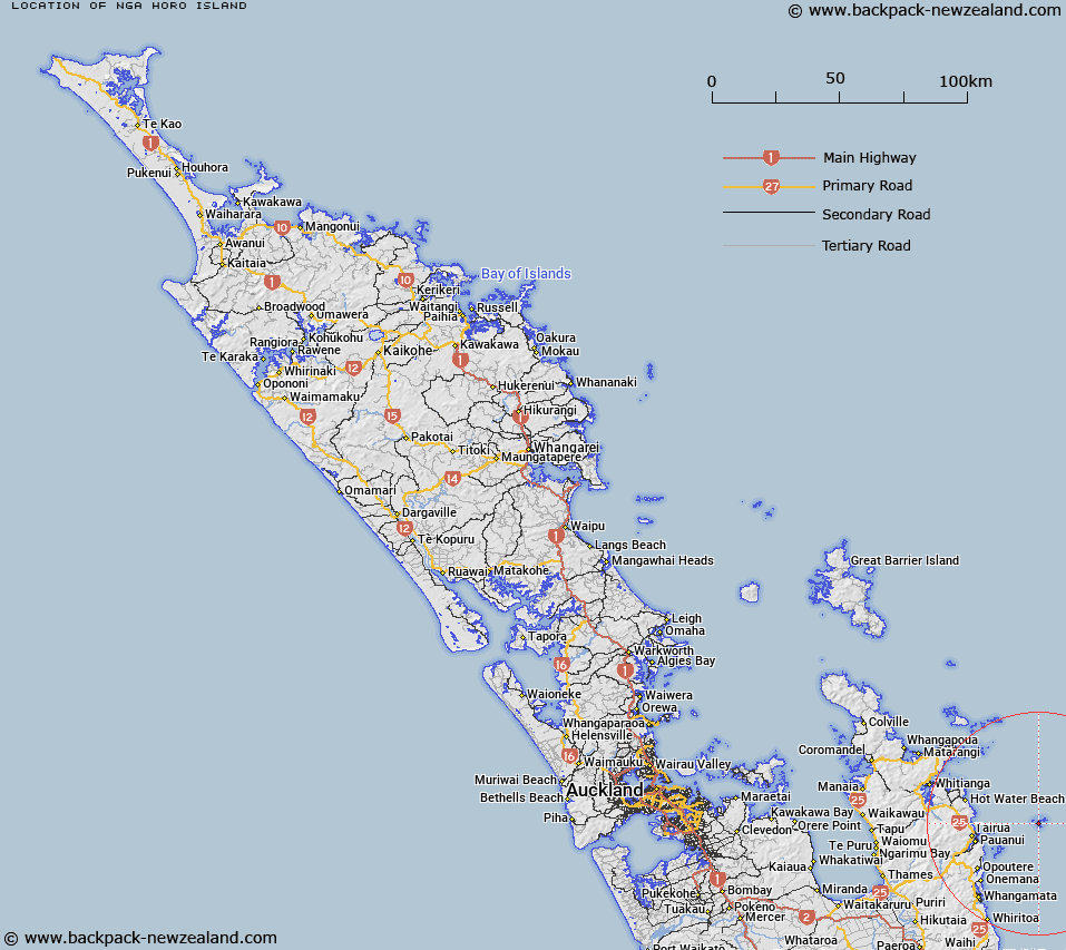
Map showing location of Nga Horo Island


LINZ description: For the northern one of two larger islands between Middle Island and Ruamahuaiti in Aldermen Islands Group
Latitude: -36.965971
Longitude: 176.077256
Northing: 5904476
Easting: 1873960.8
Land District: North Auckland
Feat Type: Island


Scroll down to see a more detailed road map and below that a topographical map showing the location of Nga Horo Island. The road map has been supplied by openstreetmap and the topographical map of Nga Horo Island has been supplied by Land Information New Zealand (LINZ).

Yes you can use the top static map for you school/university project or personal website with a link back. Contact me for any commercial use.

Nga Horo Island Map New Zealand


New Zealand places in our database
[ A ] [ B ] [ C ] [ D ] [ E ] [ F ] [ G ] [ H ] [ I ] [ J ] [ K ] [ L ] [ M ] [ N ] [ O ] [ P ] [ Q ] [ R ] [ S ] [ T ] [ U ] [ V ] [ W ] [ X ] [ Y ] [ Z ]


Closest 20 Islands to Nga Horo Island

Half Island ( 0.38km )   The Aldermen Islands ( 0.4km )   Middle Island ( 0.96km )   Ruamahuaiti Island ( 1.04km )   Big Hump ( 1.54km )   Little Hump ( 1.61km )   Hongiora ( 2.09km )   Ruamahuanui Island ( 2.15km )   The Spire ( 2.49km )   Slipper Island (Whakahau) ( 15.02km )   Shoe Island (Motuhoa) ( 15.59km )   Watchman Rock ( 16.87km )   Penguin Island ( 16.96km )   Rabbit Island ( 17.59km )   Waipapa Island ( 19.74km )   Castle Island ( 19.88km )   Motuhaua Rock ( 20.5km )   Hikunui Island ( 23.06km )   Te Karaka Island ( 26.94km )   Te Tio Island ( 27.23km )   Mahurangi Island (Goat Island) ( 27.49km )   Okorotere Island ( 27.68km )   Waikaranga Island ( 28.04km )   Tokakahakaha Island ( 28.48km )   Motueka Island (Pigeon Island) ( 29.42km )   Poikeke Island ( 29.7km )   Papamaire Island ( 30.21km )   Moturoa Island (Tower Rock) ( 30.53km )   Ohena Island ( 31.9km )   Ohinau Island ( 31.9km )   Danger Rocks ( 31.99km )   Hauturu Island ( 32km )   Whenuakura Island ( 32.45km )   Rawengaiti Island ( 32.46km )   Maukaha Rocks ( 32.48km )   Little Ohena Island ( 32.61km )   Ohinauiti Island ( 32.61km )   Motukorure Island (Centre Island) ( 32.84km )   Needle Rock ( 33.11km )   Whale Rock ( 33.14km )