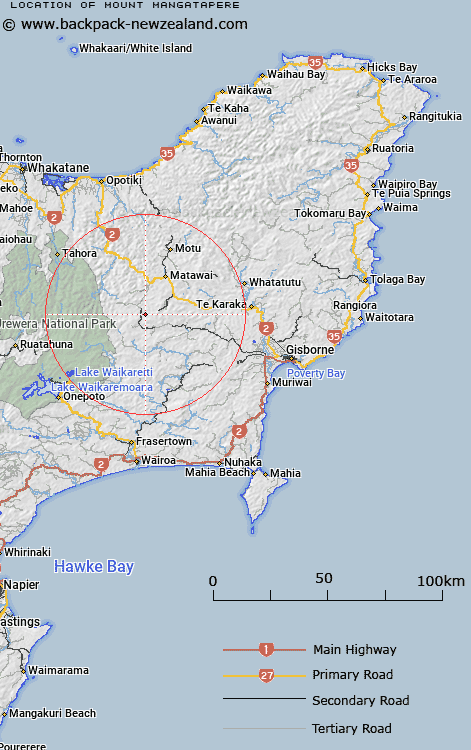
Map showing location of Mount Mangatapere
LINZ description: Mountain in Koranga Survey District, 3.5km south-west of "Dome" (Hill), height 1054m
Latitude: -38.49623
Longitude: 177.457572
Northing: 5729700
Easting: 1988800
Land District: Gisborne
Feat Type: Hill
Latitude: -38.49623
Longitude: 177.457572
Northing: 5729700
Easting: 1988800
Land District: Gisborne
Feat Type: Hill

Scroll down to see a more detailed road map and below that a topographical map showing the location of Mount Mangatapere. The road map has been supplied by openstreetmap and the topographical map of Mount Mangatapere has been supplied by Land Information New Zealand (LINZ).
Yes you can use the top static map for you school/university project or personal website with a link back. Contact me for any commercial use.
[ A ] [ B ] [ C ] [ D ] [ E ] [ F ] [ G ] [ H ] [ I ] [ J ] [ K ] [ L ] [ M ] [ N ] [ O ] [ P ] [ Q ] [ R ] [ S ] [ T ] [ U ] [ V ] [ W ] [ X ] [ Y ] [ Z ]