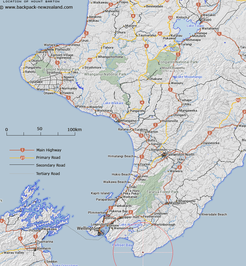
Map showing location of Mount Barton
LINZ description: A Maunga at height 889m located approximately 8 km northeast of Cape Palliser / Mātakitaki-s-Kupe, within the southern end of Aorangi Forest Park. Feature shown on: NZMS260 S28 Edition 1 1979 Limited Revision 1996; NZTopo50-BR33 952968
Latitude: -41.556222
Longitude: 175.34075
Northing: 5396848.2
Easting: 1795203
Land District: Wellington
Feat Type: Hill
Latitude: -41.556222
Longitude: 175.34075
Northing: 5396848.2
Easting: 1795203
Land District: Wellington
Feat Type: Hill

Scroll down to see a more detailed road map and below that a topographical map showing the location of Mount Barton. The road map has been supplied by openstreetmap and the topographical map of Mount Barton has been supplied by Land Information New Zealand (LINZ).
Yes you can use the top static map for you school/university project or personal website with a link back. Contact me for any commercial use.
[ A ] [ B ] [ C ] [ D ] [ E ] [ F ] [ G ] [ H ] [ I ] [ J ] [ K ] [ L ] [ M ] [ N ] [ O ] [ P ] [ Q ] [ R ] [ S ] [ T ] [ U ] [ V ] [ W ] [ X ] [ Y ] [ Z ]