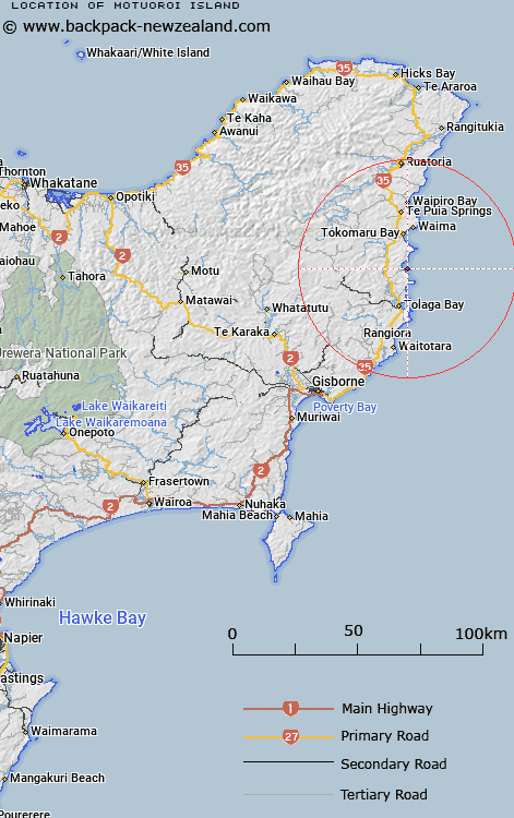
Map showing location of Motuoroi Island


LINZ description: Small island off the coast of Anaura Bay north of Gisborne.
Latitude: -38.248875
Longitude: 178.33306
Northing: 5753100
Easting: 2066800
Land District: Gisborne
Feat Type: Island


Scroll down to see a more detailed road map and below that a topographical map showing the location of Motuoroi Island. The road map has been supplied by openstreetmap and the topographical map of Motuoroi Island has been supplied by Land Information New Zealand (LINZ).

Yes you can use the top static map for you school/university project or personal website with a link back. Contact me for any commercial use.

Motuoroi Island Map New Zealand


New Zealand places in our database
[ A ] [ B ] [ C ] [ D ] [ E ] [ F ] [ G ] [ H ] [ I ] [ J ] [ K ] [ L ] [ M ] [ N ] [ O ] [ P ] [ Q ] [ R ] [ S ] [ T ] [ U ] [ V ] [ W ] [ X ] [ Y ] [ Z ]


Closest 20 Islands to Motuoroi Island

Motuhina Island ( 4.32km )   Mitre Rocks ( 14.19km )   Pourewa Island ( 14.99km )   Motuaiuri Island ( 19.94km )   Moutahiauru Island ( 20.47km )   Gable Islet ( 31.88km )   Whangara Island ( 37.04km )   Tuamotu Island ( 56.55km )   East Island (Whangaokeno Island) ( 65.51km )   Motunui Island ( 78.8km )   Motu Papaku Islands ( 79.53km )   Motu Papaka Islands ( 79.53km )   Motu Kaimeanui Island ( 79.74km )   Te Huka Island ( 81.56km )   Motukotare Island ( 82.51km )   Otarawhata Island ( 85.31km )   Patawa Island ( 106.73km )   Pataua Island ( 106.73km )   Whangakopikopiko Island ( 107.36km )   Hokianga Island ( 107.95km )   Motuotu Island ( 108.4km )   Uretara Island ( 109.53km )   Rahui Island ( 112.89km )   Te Oneatahu Island ( 113.05km )   Ohakana Island ( 113.5km )   Te Kahaatuwai Island ( 113.73km )   Te Arakoau Island ( 114.18km )   Motungarara Island ( 114.47km )   Motutorutoru Island ( 114.72km )   Portland Island ( 122.63km )   Motuhora ( 126.81km )   Moutohora Island ( 126.81km )   Club Rock ( 128.14km )   Whakaari Island ( 129.31km )   Whakaari/White Island ( 129.31km )   Moutoki Island ( 135.13km )   Rurima Island ( 136.12km )   Tokata Island ( 136.94km )   Patiti Island (Banded Island) ( 165.78km )   Plate Island ( 168.59km )