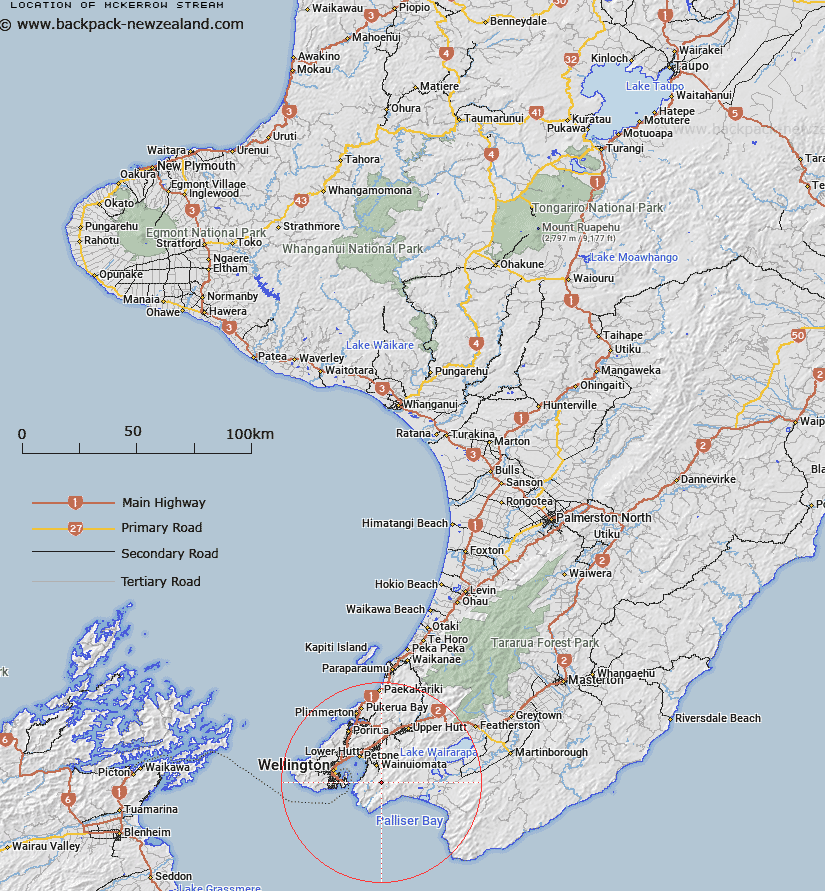
Map showing location of McKerrow Stream


LINZ description: Rises under McKerrow (hill) in Rimutaka Forest Park and flows south-west into Catchpool Stream.
Latitude: -41.325022
Longitude: 174.964412
Northing: 5423300
Easting: 1764400
Land District: Wellington
Feat Type: Stream


Scroll down to see a more detailed road map and below that a topographical map showing the location of McKerrow Stream. The road map has been supplied by openstreetmap and the topographical map of McKerrow Stream has been supplied by Land Information New Zealand (LINZ).

Yes you can use the top static map for you school/university project or personal website with a link back. Contact me for any commercial use.

McKerrow Stream Map New Zealand


New Zealand places in our database
[ A ] [ B ] [ C ] [ D ] [ E ] [ F ] [ G ] [ H ] [ I ] [ J ] [ K ] [ L ] [ M ] [ N ] [ O ] [ P ] [ Q ] [ R ] [ S ] [ T ] [ U ] [ V ] [ W ] [ X ] [ Y ] [ Z ]


Closest 20 Streams to McKerrow Stream

Graces Stream ( 1.38km )   Turere Stream ( 1.42km )   Catchpool Stream ( 1.73km )   Catchpole Stream ( 1.73km )   Big Bend ( 1.91km )   Goat Stream ( 2.69km )   Browns Stream ( 3km )   Thistle Stream ( 3.08km )   Scholl Creek ( 3.15km )   Scholes Creek ( 3.15km )   Whakanui Creek ( 3.25km )   Greens Stream ( 3.53km )   Skerrets Creek ( 4.21km )   Nettle Stream ( 4.51km )   Matthews Stream ( 4.51km )   Mukamuka Stream ( 4.92km )   Wootton Stream ( 4.97km )   Puketaha Creek ( 5.03km )   Nikau Creek ( 5.12km )   Boulder Creek ( 5.45km )   North Boulder Creek ( 5.51km )   Matai Stream ( 5.72km )   Butterfly Creek ( 5.72km )   Wainuiomata Stream ( 5.87km )   Telephone Creek ( 6.05km )   Tapokopoko Stream ( 6.19km )   Sledge Track Creek ( 6.32km )   Hinakitaka Stream ( 6.46km )   Corner Creek ( 6.56km )   George Creek ( 6.6km )   Mukamukaiti Stream ( 6.72km )   Peak Stream ( 6.78km )   Little Huia Creek ( 6.84km )   Big Huia Creek ( 7.19km )   Wharekauhau Stream ( 7.36km )   Karaka Stream ( 7.54km )   Wainuiomata River ( 7.61km )   Gollans Stream ( 7.78km )   Papatahi Stream ( 8.07km )   Red Rock Stream ( 8.14km )