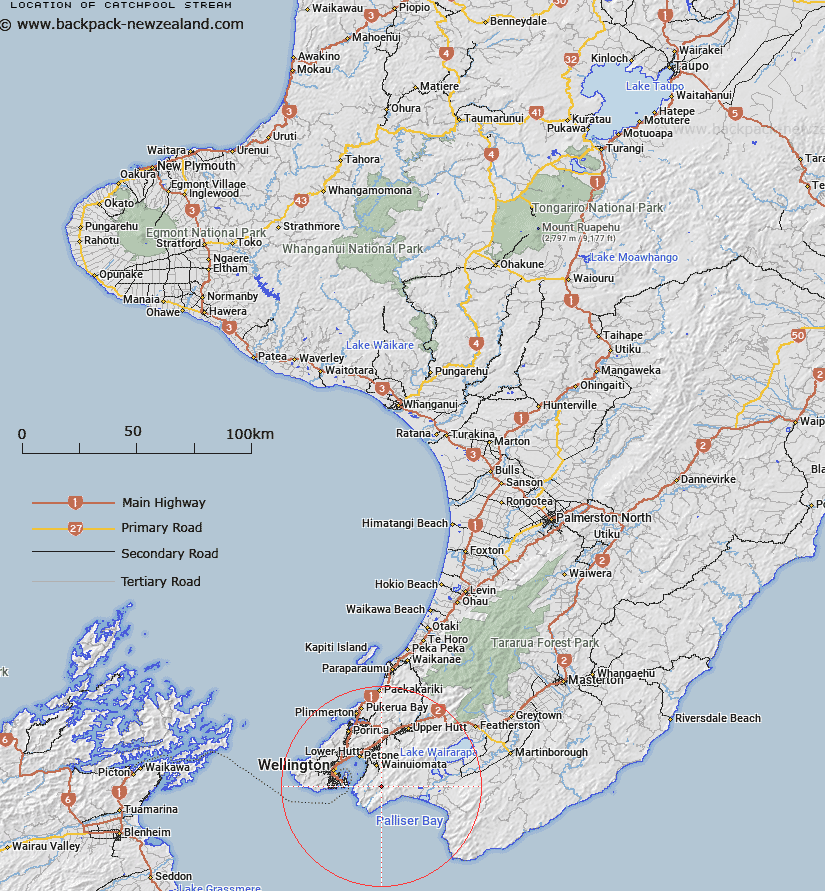
Map showing location of Catchpool Stream


LINZ description: Rises under the north-eastern end of Catlle Ridge and flows south-westerly towards Wainuiomata River
Latitude: -41.340387
Longitude: 174.961288
Northing: 5421600
Easting: 1764100
Land District: Wellington
Feat Type: Stream


Scroll down to see a more detailed road map and below that a topographical map showing the location of Catchpool Stream. The road map has been supplied by openstreetmap and the topographical map of Catchpool Stream has been supplied by Land Information New Zealand (LINZ).

Yes you can use the top static map for you school/university project or personal website with a link back. Contact me for any commercial use.

Catchpool Stream Map New Zealand


New Zealand places in our database
[ A ] [ B ] [ C ] [ D ] [ E ] [ F ] [ G ] [ H ] [ I ] [ J ] [ K ] [ L ] [ M ] [ N ] [ O ] [ P ] [ Q ] [ R ] [ S ] [ T ] [ U ] [ V ] [ W ] [ X ] [ Y ] [ Z ]


Closest 20 Streams to Catchpool Stream

Graces Stream ( 1.33km )   Big Bend ( 1.68km )   McKerrow Stream ( 1.73km )   Champagne Creek ( 1.73km )   Browns Stream ( 1.88km )   Greens Stream ( 1.93km )   Turere Stream ( 2.26km )   Goat Stream ( 2.3km )   Thistle Stream ( 2.4km )   Nettle Stream ( 2.82km )   Wootton Stream ( 3.24km )   Mukamuka Stream ( 3.98km )   Whakanui Creek ( 4.02km )   Matai Stream ( 4.24km )   Matthews Stream ( 4.39km )   Tapokopoko Stream ( 4.83km )   Scholl Creek ( 4.88km )   Scholes Creek ( 4.88km )   Peak Stream ( 5.05km )   Mukamukaiti Stream ( 5.05km )   Hinakitaka Stream ( 5.35km )   Skerrets Creek ( 5.93km )   Karaka Stream ( 6.08km )   Corner Creek ( 6.1km )   Boulder Creek ( 6.12km )   Puketaha Creek ( 6.28km )   North Boulder Creek ( 6.31km )   Wainuiomata River ( 6.39km )   Red Rock Stream ( 6.45km )   Butterfly Creek ( 6.5km )   Nikau Creek ( 6.85km )   Orongorongo River ( 6.99km )   Gollans Stream ( 7.05km )   Wharekauhau Stream ( 7.27km )   Kotumu Stream ( 7.36km )   Telephone Creek ( 7.43km )   Wainuiomata Stream ( 7.58km )   Plumbago Stream ( 7.77km )   Paiaka Stream ( 7.96km )   Sledge Track Creek ( 8.03km )