Map showing location of Lucys Gully


LINZ description: Gully in north west Kaitake Range.
Latitude: -39.148917
Longitude: 173.939241
Northing: 5666277.7
Easting: 1681160.5
Land District: Taranaki
Feat Type: Valley
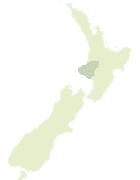

Scroll down to see a more detailed road map and below that a topographical map showing the location of Lucys Gully. The road map has been supplied by openstreetmap and the topographical map of Lucys Gully has been supplied by Land Information New Zealand (LINZ).

Yes you can use the top static map for you school/university project or personal website with a link back. Contact me for any commercial use.
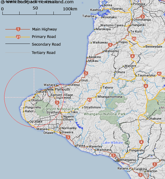
Lucys Gully Map New Zealand


New Zealand places in our database
[ A ] [ B ] [ C ] [ D ] [ E ] [ F ] [ G ] [ H ] [ I ] [ J ] [ K ] [ L ] [ M ] [ N ] [ O ] [ P ] [ Q ] [ R ] [ S ] [ T ] [ U ] [ V ] [ W ] [ X ] [ Y ] [ Z ]


Closest 20 Valleys to Lucys Gully

Lucys Gully ( 0km )   Hidden Valley ( 15.98km )   Okahu Gorge ( 18.45km )   Crater Valley ( 19.48km )   Snow Valley ( 19.59km )   Diamond Valley ( 61.5km )   Otoia Gorge ( 77.05km )   Tangarakau Gorge ( 80.63km )   Awakino Gorge ( 86.16km )   Totoro Gorge ( 106.61km )   Tree Trunk Gorge ( 160.31km )   Pillars of Hercules ( 162km )   Te Toto Gorge ( 162.16km )   Mount Azim Gorge ( 168.05km )   Oraukura Gorge ( 168.56km )   Kaiwahie Gorge ( 172.77km )   Waipari Gorge ( 174.82km )   Dry Gully ( 192.33km )   Blowfly Gully ( 195.45km )   The Harkness Valley ( 197.3km )   Iron Gates Gorge ( 198.69km )   Greens Gulch ( 201.06km )   Manawatu Gorge ( 205.33km )   Kapiti Seavalley ( 205.48km )   Squires Gully ( 205.84km )   Raby Riley Gully ( 207.21km )   Skilton Gully ( 207.94km )   Ohau Gorge ( 208.62km )   Waipari Gorge ( 209.03km )   Whisky Gully ( 209.06km )   McIlroy Gully ( 209.54km )   Fishers Gully ( 209.55km )   Lightband Gully ( 209.59km )   Kohurau Depression ( 210.74km )   Golden Gully ( 211.13km )   Maioro Gap ( 211.9km )   Bedstead Gully ( 212.23km )   McGregor Gully ( 212.27km )   Donovan Gully ( 212.6km )   Gibbs Gully ( 213.17km )