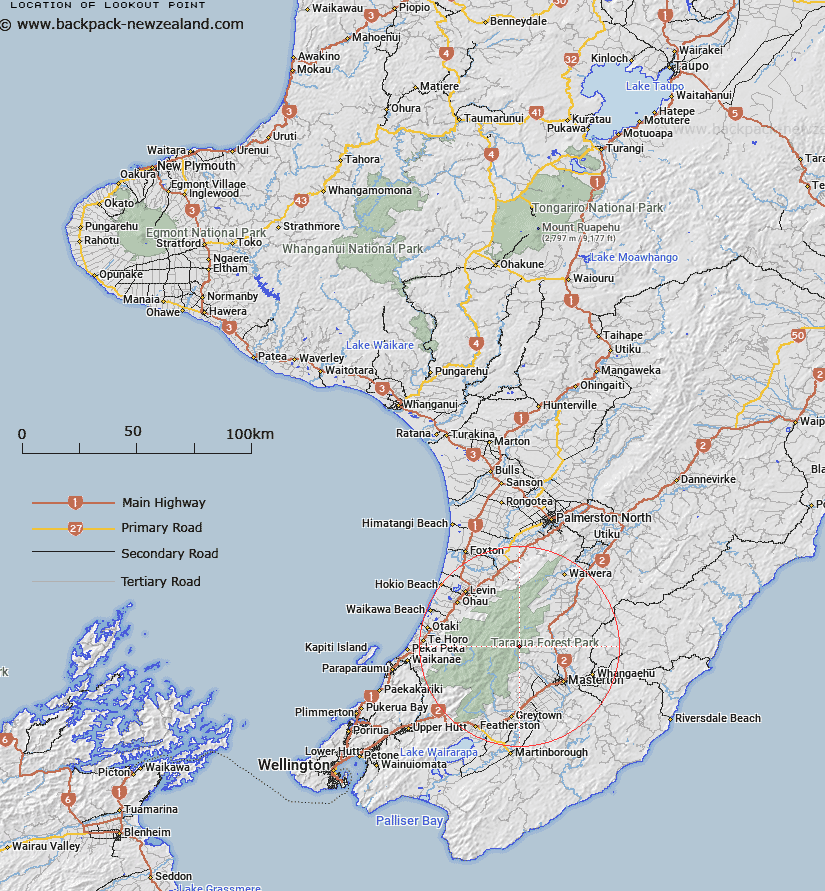
Map showing location of Lookout Point


LINZ description: Point (725m) on a spur leading westward to Waingawa River, off Blue Range in Tararua Ranges, 900m South by South-west of Bruce Hill. Block VI Mikimiki Survey District.
Latitude: -40.821114
Longitude: 175.491395
Northing: 5478113.6
Easting: 1810105.4
Land District: Wellington
Feat Type: Point


Scroll down to see a more detailed road map and below that a topographical map showing the location of Lookout Point. The road map has been supplied by openstreetmap and the topographical map of Lookout Point has been supplied by Land Information New Zealand (LINZ).

Yes you can use the top static map for you school/university project or personal website with a link back. Contact me for any commercial use.

Lookout Point Map New Zealand


New Zealand places in our database
[ A ] [ B ] [ C ] [ D ] [ E ] [ F ] [ G ] [ H ] [ I ] [ J ] [ K ] [ L ] [ M ] [ N ] [ O ] [ P ] [ Q ] [ R ] [ S ] [ T ] [ U ] [ V ] [ W ] [ X ] [ Y ] [ Z ]


Closest 20 Points to Lookout Point

Titoki Point ( 13.15km )   Te Toki Point ( 13.15km )   Kurukohatu Point ( 45.31km )   Tokaiti Point ( 45.92km )   Tokahaki Point ( 46.52km )   Rangatira Point ( 46.96km )   Cannon Point ( 47.11km )   Arapawaiti Point ( 48.01km )   Trig Point ( 49.24km )   Kaiwharawhara Point ( 50.62km )   Maraetakaroro ( 51.22km )   Wharekohu Point ( 51.49km )   Manawanau ( 51.7km )   Tahiririmongo Point ( 52.35km )   West Point ( 52.71km )   Tareremango Point ( 52.81km )   Te Ana-o-Hau ( 53.6km )   Wairaka Point ( 57.16km )   Ration Point ( 57.83km )   Uruti Point ( 59.01km )   Hauk?pua Point ( 59.57km )   Moorehouse Point ( 59.71km )   Taup? Point ( 60.32km )   Shearers Point ( 60.35km )   Goat Point ( 60.4km )   Tawhitikur? / Goat Point ( 60.4km )   Motuhara Point ( 60.43km )   Te Rewarewa Point ( 60.97km )   Deepwater Point ( 61.01km )   Flat Point ( 61.63km )   Horewai Point ( 63.8km )   Horiwi Point ( 63.8km )   Mungarui Point ( 64.41km )   Round Point ( 65.06km )   Green Point ( 66km )   Shingle Point ( 66.16km )   South Point ( 67.34km )   Rock Point ( 68.2km )   Point Howard ( 68.85km )   Point Arthur ( 74.18km )