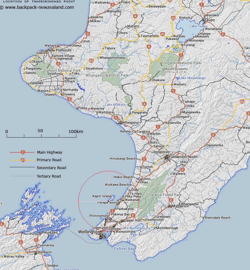
Map showing location of Tahiririmongo Point


LINZ description: The southernmost point of Kapiti Island. 1km West of Wharekohu Point. Block II Kapiti Survey District.
Latitude: -40.88979
Longitude: 174.875576
Northing: 5471783.9
Easting: 1758005.4
Land District: Wellington
Feat Type: Point


Scroll down to see a more detailed road map and below that a topographical map showing the location of Tahiririmongo Point. The road map has been supplied by openstreetmap and the topographical map of Tahiririmongo Point has been supplied by Land Information New Zealand (LINZ).

Yes you can use the top static map for you school/university project or personal website with a link back. Contact me for any commercial use.

Tahiririmongo Point Map New Zealand


New Zealand places in our database
[ A ] [ B ] [ C ] [ D ] [ E ] [ F ] [ G ] [ H ] [ I ] [ J ] [ K ] [ L ] [ M ] [ N ] [ O ] [ P ] [ Q ] [ R ] [ S ] [ T ] [ U ] [ V ] [ W ] [ X ] [ Y ] [ Z ]


Closest 20 Points to Tahiririmongo Point

Tareremango Point ( 0.76km )   Wharekohu Point ( 0.87km )   West Point ( 1.66km )   Manawanau ( 2.37km )   Maraetakaroro ( 2.84km )   Kaiwharawhara Point ( 3.85km )   Trig Point ( 5.58km )   Rangatira Point ( 6.45km )   Arapawaiti Point ( 8.33km )   Tokahaki Point ( 9.37km )   Kurukohatu Point ( 9.4km )   Tokaiti Point ( 9.55km )   Te Ana-o-Hau ( 14.8km )   Wairaka Point ( 15.84km )   Hauk?pua Point ( 17.73km )   Te Rewarewa Point ( 19.66km )   Motuhara Point ( 20.58km )   Taup? Point ( 21.56km )   Goat Point ( 22.22km )   Tawhitikur? / Goat Point ( 22.22km )   Deepwater Point ( 23.29km )   Ration Point ( 23.34km )   Moorehouse Point ( 23.37km )   Shingle Point ( 23.52km )   Shearers Point ( 23.55km )   South Point ( 23.76km )   Round Point ( 24.75km )   Green Point ( 25.28km )   Mungarui Point ( 26.86km )   Rock Point ( 27.62km )   Cannon Point ( 28.95km )   Pipinui Point ( 33.51km )   Point Howard ( 40.49km )   Kaiwharawhara Point ( 41.97km )   Ohau Point ( 43.29km )   Point Halswell ( 44.07km )   Point Jerningham ( 44.41km )   Point Gordon ( 45.27km )   Snapper Point ( 45.54km )   Greta Point ( 46.38km )