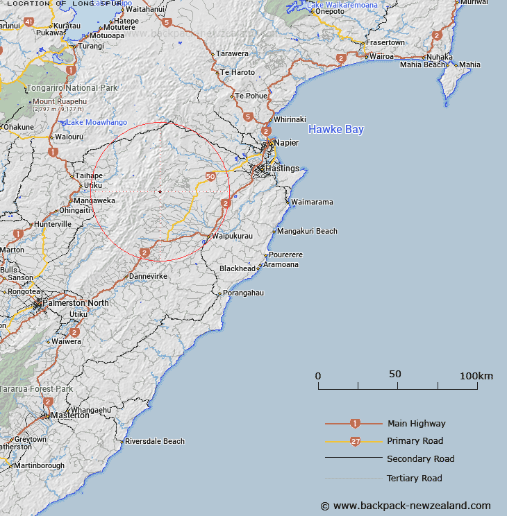
Map showing location of Long Spur


LINZ description: Running south-westerly from a point just west of Pound Hill to Makaroro River. Wakarara Survey District.
Latitude: -39.759212
Longitude: 176.281907
Northing: 5593814.3
Easting: 1881152.4
Land District: Hawke's Bay
Feat Type: Ridge


Scroll down to see a more detailed road map and below that a topographical map showing the location of Long Spur. The road map has been supplied by openstreetmap and the topographical map of Long Spur has been supplied by Land Information New Zealand (LINZ).

Yes you can use the top static map for you school/university project or personal website with a link back. Contact me for any commercial use.

Long Spur Map New Zealand


New Zealand places in our database
[ A ] [ B ] [ C ] [ D ] [ E ] [ F ] [ G ] [ H ] [ I ] [ J ] [ K ] [ L ] [ M ] [ N ] [ O ] [ P ] [ Q ] [ R ] [ S ] [ T ] [ U ] [ V ] [ W ] [ X ] [ Y ] [ Z ]


Closest 20 Ridges to Long Spur

Colenso Spur ( 7.77km )   Totara Spur ( 10.79km )   Papakiakuta Ridge ( 11.75km )   Hinerua Ridge ( 12.54km )   Jumped Up Spur ( 12.64km )   Golden Crown Spur ( 14.27km )   Golden Crown Ridge ( 14.59km )   Bob Spur ( 15.61km )   Broken Ridge ( 15.97km )   Government Spur ( 16.94km )   Black Ridge ( 17.42km )   Herrick Spur ( 18.25km )   Sawtooth Ridge ( 18.66km )   Ohutu Ridge ( 19.72km )   Hollowback Ridge ( 20.61km )   Daphne Ridge ( 20.67km )   Daphne Spur ( 20.9km )   Dirty Spur ( 23.17km )   The Hermitage ( 24.21km )   The Paradise ( 24.43km )   Wild Sheep Spur ( 24.48km )   Taumata Ridge ( 31.88km )   The Lizard ( 37.89km )   The Blowhard ( 40.1km )   Sandy Ridge ( 40.19km )   Blowhard Ridge ( 41.02km )   The Rogue ( 47.77km )   Mackintosh Spur ( 47.94km )   Matauria Ridge ( 50.23km )   Coxcomb Spur ( 52.2km )   The Pinnacles ( 52.73km )   Dons Spur ( 53.11km )   Back Ridge ( 53.22km )   Spion Kop ( 53.64km )   Makahu Spur ( 54.11km )   Rogers Spur ( 55.19km )   Pinnacle Spur ( 55.19km )   Forks Spur ( 55.94km )   Dicks Spur ( 56.38km )   Ihaka Spur ( 57.89km )