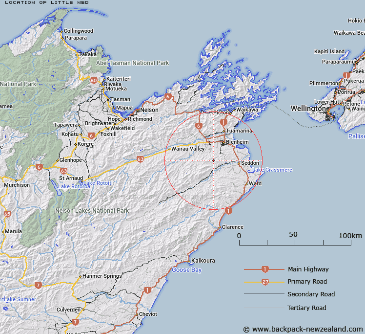
Map showing location of Little Ned


LINZ description: A peak at the head of the Branch River and Blairich tributaries, south-west of The Ned
Latitude: -41.650895
Longitude: 173.878633
Northing: 5388610.5
Easting: 1673163
Land District: Marlborough
Feat Type: Hill


Scroll down to see a more detailed road map and below that a topographical map showing the location of Little Ned. The road map has been supplied by openstreetmap and the topographical map of Little Ned has been supplied by Land Information New Zealand (LINZ).

Yes you can use the top static map for you school/university project or personal website with a link back. Contact me for any commercial use.

Little Ned Map New Zealand


New Zealand places in our database
[ A ] [ B ] [ C ] [ D ] [ E ] [ F ] [ G ] [ H ] [ I ] [ J ] [ K ] [ L ] [ M ] [ N ] [ O ] [ P ] [ Q ] [ R ] [ S ] [ T ] [ U ] [ V ] [ W ] [ X ] [ Y ] [ Z ]


Closest 20 Hills to Little Ned

The Ned ( 3.6km )   Washpool Hill ( 4.17km )   Sugar Loaf ( 7.09km )   Wards Peak ( 7.27km )   Newport Knob ( 8.82km )   Blairich ( 9.41km )   Vinegar Point ( 9.73km )   The William ( 12.17km )   Upton ( 13.1km )   Hikurangi / Goulter Hill ( 13.6km )   Altimarloch ( 14.21km )   Star Hill ( 14.83km )   Fells Hill ( 14.98km )   The Throne ( 15.56km )   Mount Harkness ( 16.12km )   Mount Horrible ( 16.63km )   Craigs Peak ( 17.31km )   Camp Hill ( 17.51km )   The Pyramid ( 17.59km )   Richmond Hill ( 17.98km )   Trevors Peak ( 18.37km )   Monument ( 19.1km )   Cow Hill ( 19.17km )   Newcome Knob ( 19.8km )   Newcombe Knob ( 19.8km )   Pudding Hill ( 20.15km )   Doctors Knob ( 20.73km )   Waihopai ( 20.94km )   Peggioh ( 21.11km )   Jamies Knob ( 21.17km )   Jeanies Knob ( 21.59km )   Reserve Hill ( 21.63km )   Conical Hill ( 21.83km )   Horseshoe Hill ( 22.28km )   The Rock ( 22.29km )   Big Hill ( 22.31km )   Little Cregan ( 22.91km )   Needles ( 22.95km )   Welds Hill ( 22.99km )   Blue Mountain ( 23.09km )