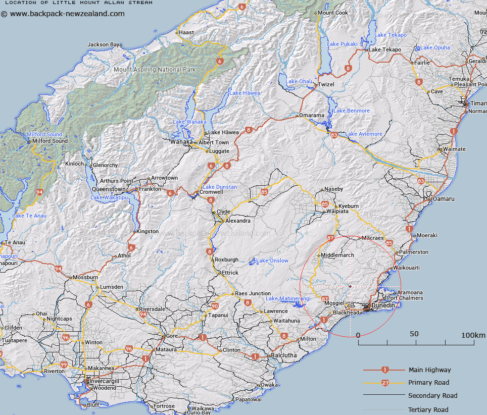
Map showing location of Little Mount Allan Stream


LINZ description: Stream flowing under Little Mount Allan, to join Taieri River at Little Mount Allen locality, East Taieri.
Latitude: -45.731759
Longitude: 170.360309
Northing: 4932366.2
Easting: 1394619
Land District: Otago
Feat Type: Stream


Scroll down to see a more detailed road map and below that a topographical map showing the location of Little Mount Allan Stream. The road map has been supplied by openstreetmap and the topographical map of Little Mount Allan Stream has been supplied by Land Information New Zealand (LINZ).

Yes you can use the top static map for you school/university project or personal website with a link back. Contact me for any commercial use.

Little Mount Allan Stream Map New Zealand


New Zealand places in our database
[ A ] [ B ] [ C ] [ D ] [ E ] [ F ] [ G ] [ H ] [ I ] [ J ] [ K ] [ L ] [ M ] [ N ] [ O ] [ P ] [ Q ] [ R ] [ S ] [ T ] [ U ] [ V ] [ W ] [ X ] [ Y ] [ Z ]


Closest 20 Streams to Little Mount Allan Stream

Little Mount Allan Stream ( 0km )   Christmas Creek ( 2.27km )   Pay Office Creek ( 3.42km )   Sweet Water Creek ( 3.72km )   Machine Creek ( 4.72km )   Big Stream ( 4.88km )   Flat Creek ( 6.27km )   Mummy Stream ( 6.76km )   Coal Stream ( 6.83km )   Reef Creek ( 6.84km )   Game Hen Stream ( 7.18km )   Powder Creek West Branch ( 7.21km )   Mossy Stream ( 7.3km )   Game Cock Stream ( 7.4km )   Powder Creek East Branch ( 7.7km )   Mullocky Stream ( 7.93km )   Barewood Creek ( 7.98km )   Orbells Creek ( 8.44km )   Three O'clock Stream ( 8.96km )   Sandys Creek ( 10.11km )   Whare Creek ( 11.11km )   Flat Stream ( 11.18km )   Boyds Creek ( 11.56km )   Sluice Box Creek ( 11.75km )   McQuilkans Creek ( 11.86km )   Toll Bar Creek ( 12.08km )   Fortification Stream ( 12.13km )   Ross Stream ( 12.19km )   Ross Stream ( 12.26km )   Fergusons Creek ( 12.39km )   Burns Creek ( 12.5km )   Silver Stream ( 13.42km )   Waikouaiti River South Branch ( 13.5km )   Mount Misery Creek ( 13.51km )   Flagstaff Creek ( 13.69km )   Little Ross Stream ( 13.99km )   Semple Burn ( 14.06km )   Alexanders Creek ( 14.23km )   Morrisons Burn ( 14.4km )   Nicols Creek ( 14.69km )