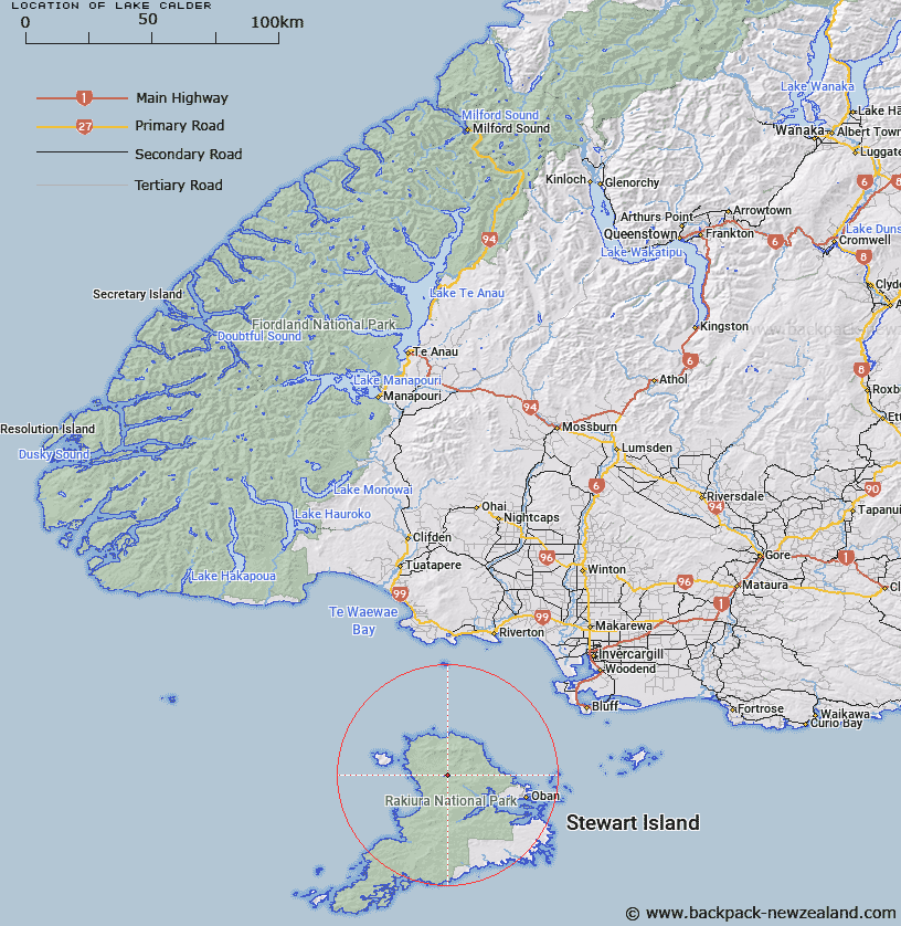
Map showing location of Lake Calder


LINZ description: Lake North-west of Lake Alexander, and East of Lake Sheila. Anglem Survey District.
Latitude: -46.826085
Longitude: 167.85595
Northing: 4801302
Easting: 1207686.9
Land District: Southland
Feat Type: Lake


Scroll down to see a more detailed road map and below that a topographical map showing the location of Lake Calder. The road map has been supplied by openstreetmap and the topographical map of Lake Calder has been supplied by Land Information New Zealand (LINZ).

Yes you can use the top static map for you school/university project or personal website with a link back. Contact me for any commercial use.

Lake Calder Map New Zealand


New Zealand places in our database
[ A ] [ B ] [ C ] [ D ] [ E ] [ F ] [ G ] [ H ] [ I ] [ J ] [ K ] [ L ] [ M ] [ N ] [ O ] [ P ] [ Q ] [ R ] [ S ] [ T ] [ U ] [ V ] [ W ] [ X ] [ Y ] [ Z ]


Closest 20 Lakes to Lake Calder

Lake Alexander ( 0.38km )   Lake Sheila ( 1.22km )   Double Lakes ( 2.85km )   Te Awatuiau Lagoon ( 48.93km )   Waitokariro Lagoon ( 50.02km )   Tauatemaku Lagoon ( 50.61km )   Moana Putakitaki Lagoon ( 51.72km )   Lake George ( 52.13km )   Lake Murihiku ( 56.29km )   Long White Lagoon ( 57.45km )   Big Lagoon ( 57.98km )   Waituna Lagoon ( 63.11km )   Lake Bennett ( 70.45km )   Lake Vincent ( 78.29km )   Lake Charles ( 79.7km )   Lake Brunton ( 80.7km )   Lake Forest ( 81.22km )   Lake Cook ( 83.08km )   The Reservoir ( 93.1km )   Lake Innes ( 99.28km )   Lake Marshall ( 100.7km )   Lake Hakapoua ( 101.34km )   Lake Hauroko ( 105.32km )   Lake Hauroto ( 105.32km )   Lake Poteriteri ( 106.14km )   Lake Mouat ( 109.06km )   Lake Kiwi ( 109.83km )   Lake Monowai ( 110.13km )   Monowai Lake ( 112.44km )   Monk Lake ( 112.74km )   Lake Kakapo ( 118.03km )   Green Lake ( 119.9km )   Lake Jaquiery ( 119.94km )   Island Lake ( 122.45km )   Lake Wilkie ( 123.78km )   Sphinx Lake ( 124.33km )   Lake Widgeon ( 124.86km )   Lake Hay ( 129.28km )   Victor Lake ( 130km )   Shallow Lake ( 130.11km )