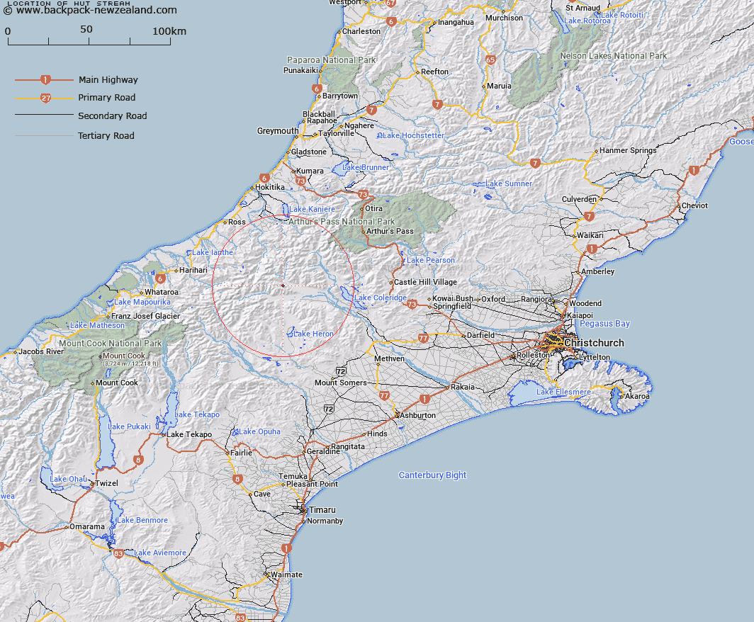
Map showing location of Hut Stream
LINZ description: Right bank tributary of Mathias River rising 3.5km North-west of Poachers Pass in the Ragged Range, flowing generally North-eastward and joining Mathias River 3km downstream of North and West Mathias River junction. Block VI, Wilberforce Survey District.
Latitude: -43.227813
Longitude: 171.132724
Northing: 5212193.8
Easting: 1448363.2
Land District: Canterbury
Feat Type: Stream
Latitude: -43.227813
Longitude: 171.132724
Northing: 5212193.8
Easting: 1448363.2
Land District: Canterbury
Feat Type: Stream

Scroll down to see a more detailed road map and below that a topographical map showing the location of Hut Stream. The road map has been supplied by openstreetmap and the topographical map of Hut Stream has been supplied by Land Information New Zealand (LINZ).
Yes you can use the top static map for you school/university project or personal website with a link back. Contact me for any commercial use.
[ A ] [ B ] [ C ] [ D ] [ E ] [ F ] [ G ] [ H ] [ I ] [ J ] [ K ] [ L ] [ M ] [ N ] [ O ] [ P ] [ Q ] [ R ] [ S ] [ T ] [ U ] [ V ] [ W ] [ X ] [ Y ] [ Z ]