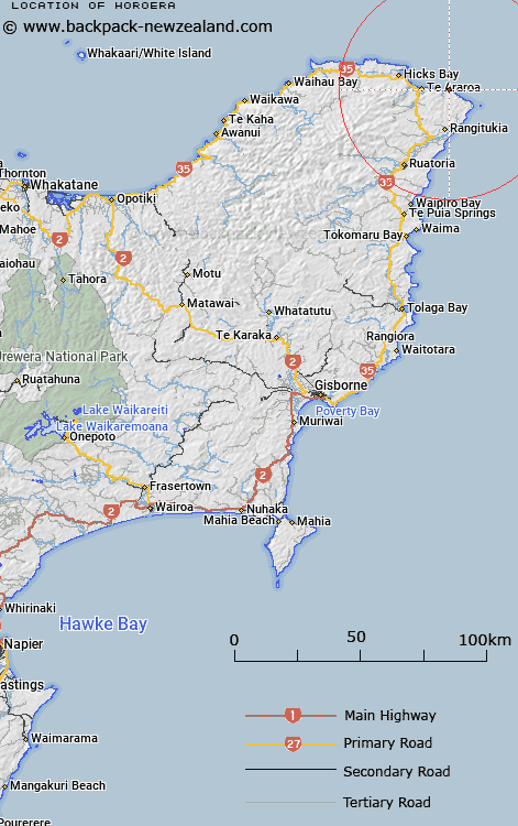
Map showing location of Horoera
LINZ description: Locality half way between East Cape and Te Araroa. Horoera Settlement depicted on ML 1749 (1911). NZTopo50-BD45 825200
Latitude: -37.639989
Longitude: 178.467486
Northing: 5820042.7
Easting: 2082555.1
Land District: Gisborne
Feat Type: Locality
Latitude: -37.639989
Longitude: 178.467486
Northing: 5820042.7
Easting: 2082555.1
Land District: Gisborne
Feat Type: Locality

Scroll down to see a more detailed road map and below that a topographical map showing the location of Horoera. The road map has been supplied by openstreetmap and the topographical map of Horoera has been supplied by Land Information New Zealand (LINZ).
Yes you can use the top static map for you school/university project or personal website with a link back. Contact me for any commercial use.
[ A ] [ B ] [ C ] [ D ] [ E ] [ F ] [ G ] [ H ] [ I ] [ J ] [ K ] [ L ] [ M ] [ N ] [ O ] [ P ] [ Q ] [ R ] [ S ] [ T ] [ U ] [ V ] [ W ] [ X ] [ Y ] [ Z ]